Lakeside Car Wash to Be Replaced by Mixed-Use Project

The LA area grew rapidly in the first half of the 20th century, and after WWII the population continued to climb.  Spurred in part by the growth of the freeway system, subdivisions started springing up all over the place, and LA’s car culture kicked into high gear.  Families went to see movies in drive-in theatres.  Teen-agers spent Saturday night at drive-in restaurants. 

And the car wash became a familiar fixture in these new communities.  According to the LA Conservancy, the Lakeside Car Wash, located at Riverside and Hollywood Way, debuted in 1956.  The architect is unknown, but the structure stands out for its surprising combination of rustic ranch style and mid-century modern.  The Conservancy points out the connections to the Googie coffee shops that were popping up all over LA at the time.

View of Lakeside Car Wash from Riverside Drive.
Entrance to car wash

But whatever its architectural merits, the Lakeside Car Wash is now closed and will almost certainly disappear in the not too distant future.  In April 2022, the City of Burbank approved the construction of a mixed-use project on the site, which includes 49 condos and 2,000 square feet of commercial space and open space located at street level. 

Side view from Hollywood Way
The back of the car wash
Actually, the closure is probably permanent.
The cashier’s office

Remnants of the early days of California’s car culture have been disappearing for years.  The Reseda Drive-In Theatre was shuttered back in the 70s.  The Tiny Naylor’s at Sunset and La Brea, a Googie classic, was demolished in the 80s.  Burbank’s Pickwick Drive-In Theatre went dark in 1989 and is now a shopping center. 

But car culture isn’t disappearing, it’s just changing.  These days more California households have access to cars than ever before.  Check out this quote from Falling Transit Ridership, a study published by UCLA in 2018….

Census summary file data show that from 2000 to 2015, the SCAG region added 2.3 million people and 2.1 million household vehicles (or 0.95 vehicles per new resident). To put that growth in perspective, from 1990 to 2000 the region added 1.8 million people but only 456,000 household vehicles (0.25 vehicles per new resident). The growth of household vehicles in the last 15 years has been astonishing.

The Lakeside Car Wash will soon be gone, but cars are here to stay.  They’ll just have to go somewhere else to get clean.

Burbank Blvd. Bridge Demolition

Brbk Bridge Demo from Live Feed 9 200426 CROPPED

An image from Sunday morning, when demolition was largely completed.

A few months back I wrote about the Empire Interchange/Interstate 5 Improvement Project, a massive undertaking that’s been in process for years. One component of the project is the demolition and replacement of the Burbank Blvd. Bridge over the I-5. This weekend the freeway was shut down and the demolition took place. The photo above is from a live feed that was posted on-line, and shows what the scene looked like this morning. Here are a few more shots from the live feed that show the demo in progress.

Brbk Bridge Demo from Live Feed 0 BEFORE CROPPED

An image from the live feed before the freeway closure, when the bridge was still standing.

Brbk Bridge Demo from Live Feed 3 200425 CROPPED

An image from Saturday, when demolition had begun.

Brbk Bridge Demo from Live Feed 5 200425 CROPPED

Demolition continues on Saturday, as the sun goes down.

The project is way behind schedule and there’s no telling when it will actually be completed. For more info, you can read my previous post by clicking here.


Building Empire

Emp 10 Fwy Banners

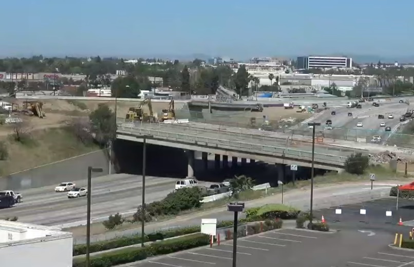
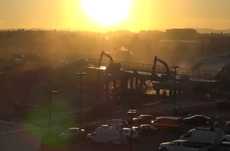
For years now construction crews have been tearing up Downtown Burbank. Caltrans is the lead agency on a huge infrastructure project which is remaking the I-5/Golden State Freeway corridor, as well as bringing changes to a number of Burbank’s surface streets. The actual name for all this activity is the Empire Interchange/Interstate 5 Improvement Project. Here’s a brief overview from the City of Burbank’s web site.

“This project, lead [sic] by Caltrans and funded primarily by State transportation funds and Los Angeles County transportation sales tax funds, will relieve congestion along Interstate 5 while providing an important new access to the Golden State area of Burbank, including the Empire Center and Bob Hope Airport.”

Emp 12 Fwy Bridge Trucks

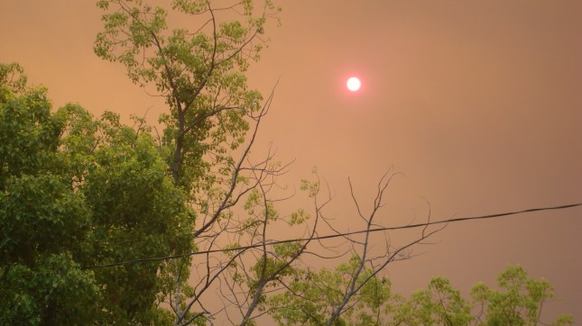
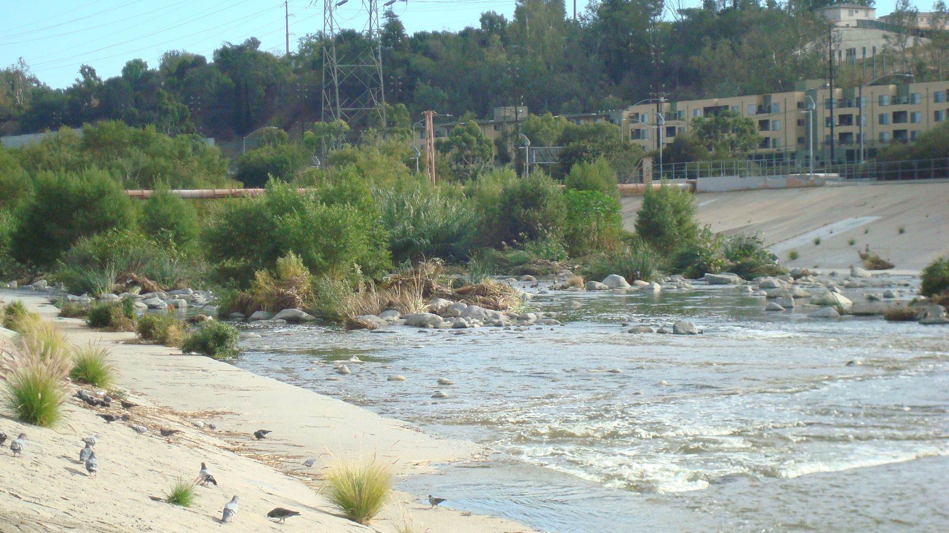
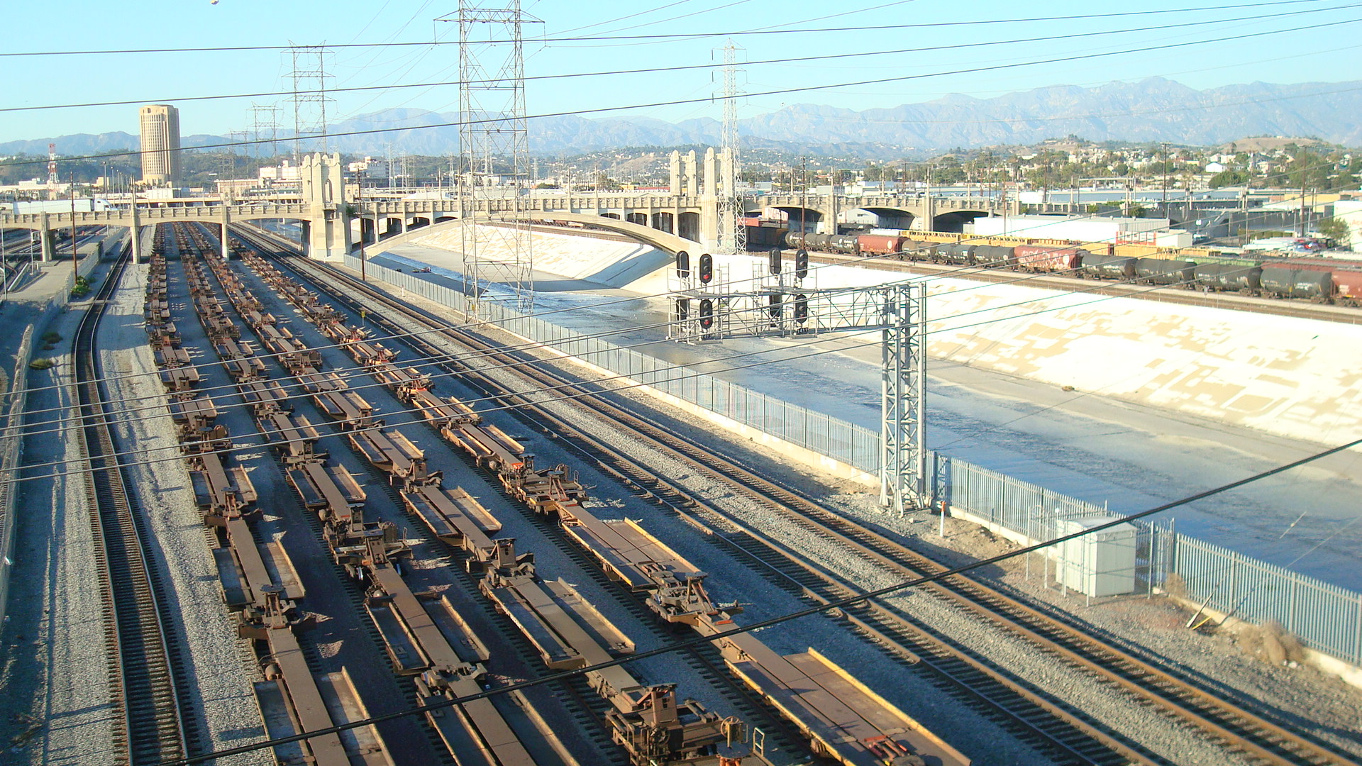
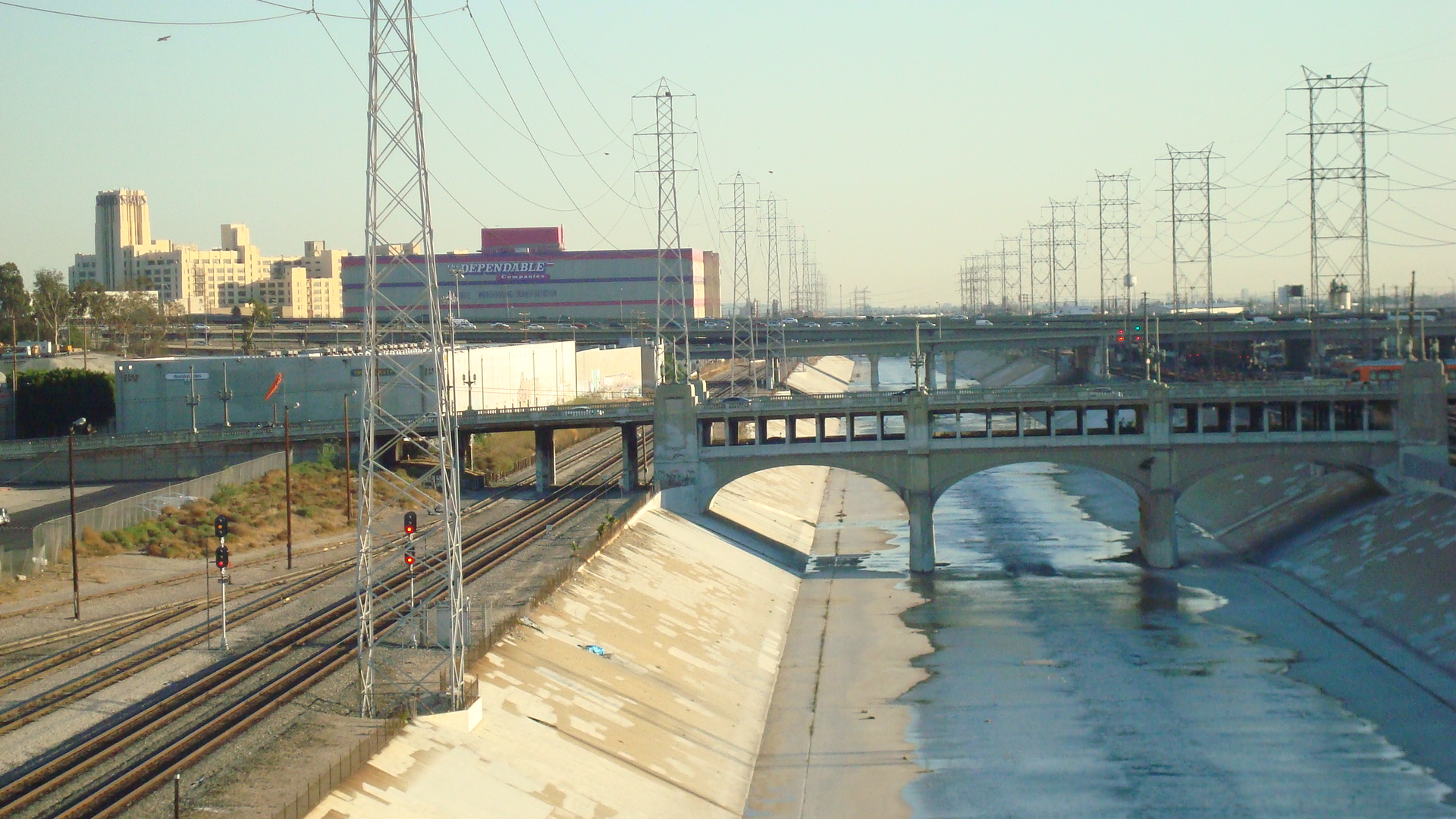
The I-5/Golden State Freeway as it passes through Burbank

Emp 14 Burb Bridge Target

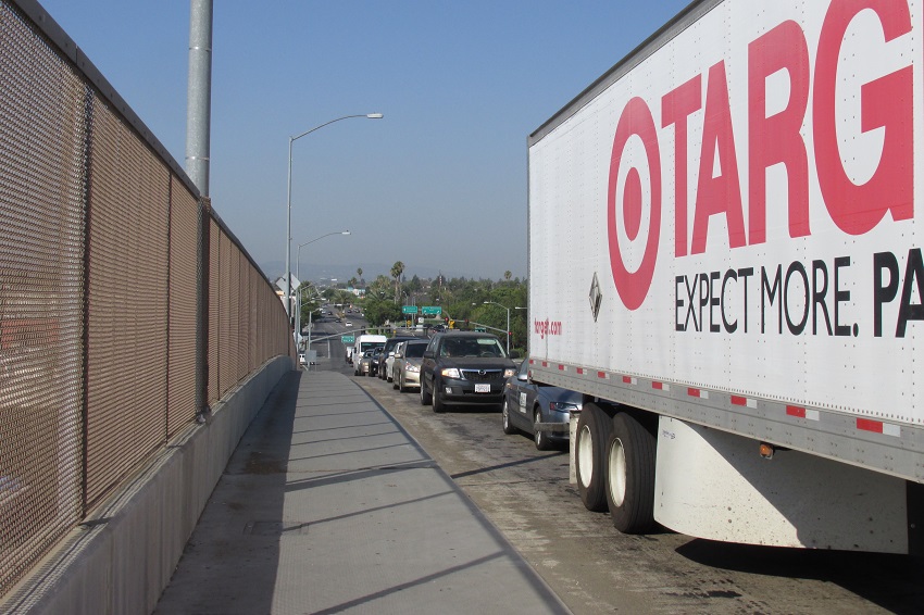
Traffic on Burbank Blvd. where it crosses over the freeway

Here’s a short list of specific changes that are part of the project.

> Full freeway interchange at Empire Avenue
> New freeway and railroad crossing allowing access to Empire Center
> Freeway widening including 2 carpool lanes and weaving lanes
> Burbank Blvd. Interchange Demolition & Reconstruction
> Railroad grade separation at Buena Vista Street
> Realignment / Closure of San Fernando Blvd near Lincoln Street.

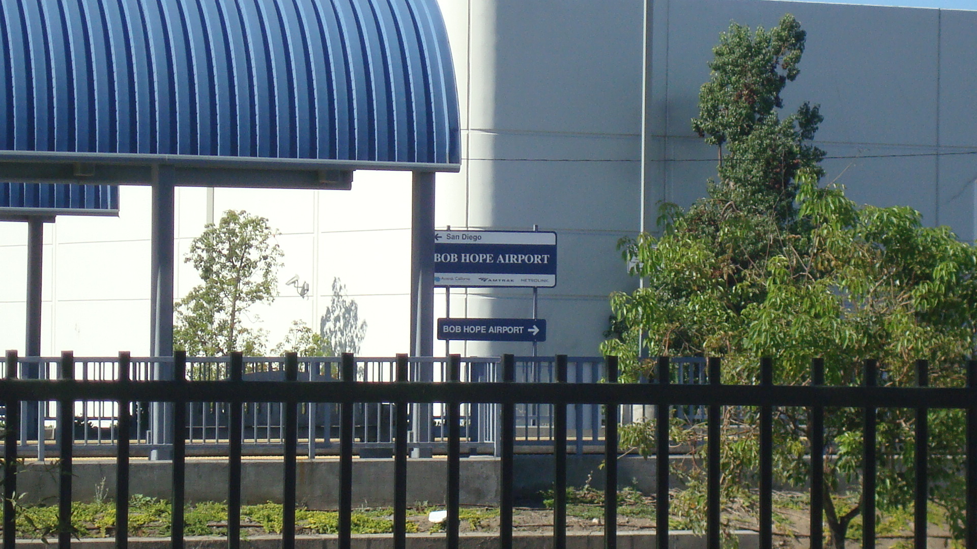
You’ll notice one of the main goals is to improve access to the Empire Center. If you’ve never been there, it’s basically a massive mall that has all the same chain retail stores and restaurants you can find almost anywhere else in Southern California. But more on that later.

Emp 20 Columns 1

Excavation next to the Empire Center

Emp 21 Hill Jeep EDITED

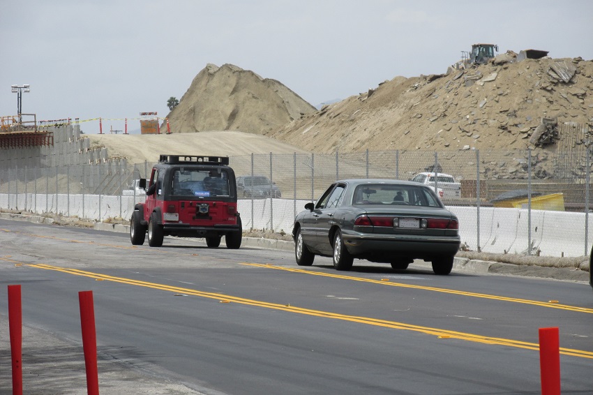
Mounds of dirt rising above Victory Place

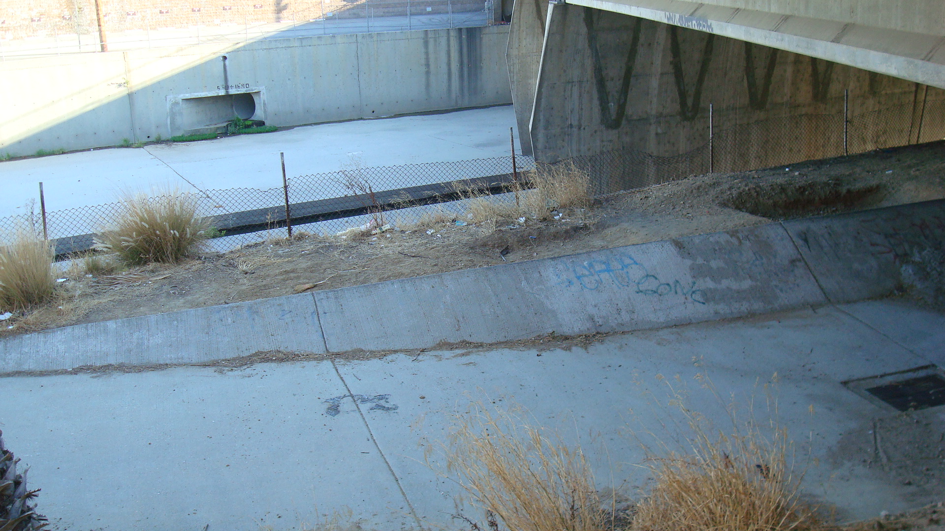
The project is way behind schedule. Various factors have pushed completion back substantially, including a dispute with a contractor and this year’s heavy rains. Demolition and replacement of the Burbank Blvd. bridge had been scheduled to start this year, but now Caltrans says they’ll start in 2020. It isn’t unusual for a project this big and this complex to take longer than expected, but Caltrans’ original 2018 deadline was ridiculously ambitious. Work has already been going on for over five years, and will continue for at least a couple more years.

Emp 22 SFB Winona Const 1

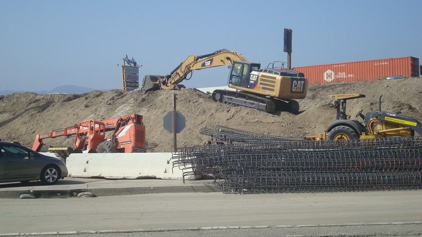
A barrier under construction at San Fernando and Winona

Emp 24 Const Site SFB Winona 2

Construction site at San Fernando and Winona

Emp 28 Winona Under Fwy

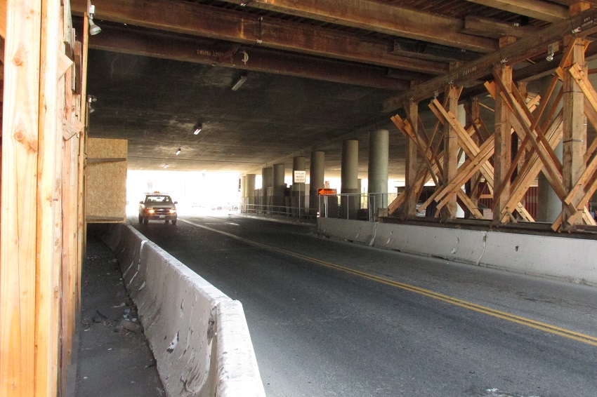
Work on Winona where it passes under the freeway

In the project overview above, you may have noticed that it said funding comes in part from an LA County transportation sales tax. This would be Measure R, which was approved by voters about a decade ago. Measure R money funds a lot of different things, but the major categories are: 35% to new rail and bus rapid transit projects; 20% to carpool lanes, highways and other highway related improvements; 20% to bus operations; and 15% for local city sponsored improvements.

Emp 29 Shovel SF Blvd Red Truck

Construction on San Fernando next to the freeway

LA voters have consistently approved new taxes for transit and road upgrades, but there’s an ongoing debate about the way these measures are structured, with many transit advocates saying it’s counterproductive to levy new taxes to fund both transit and highway improvements. Their argument is that if we continue to invest in infrastructure that makes it easier to drive cars, then people will just continue to drive cars, even though billions are being invested in new rail infrastructure. On the other hand, the people who write these measures say that voters won’t approve them if there’s no money for roadwork.

There does seem to be a conflict here, which may, in part, explain the dismal performance of LA’s investments in transit. The Los Angeles County Metropolitan Transportation Authority (or Metro) has spent billions on new rail infrastructure over the past two decades, and yet transit ridership is lower than it was in the 80s. Some commentators believe that LA voters like the idea of transit, but ultimately end up sticking with their cars.

You can take the bus to the Empire Center, but as you can see by the photos below, most folks drive.

Emp 30 EC Pkng 2

Parking lot at the Empire Center

Emp 32 Pkng 2

Another shot of the parking lot at the Empire Center

Burbank is a really car-centric town. Aside from the Empire Center, the Downtown area also has the Burbank Town Center and an adjacent outdoor mall. On weekends the parking areas/structures for all three of these malls are packed with cars. Burbank residents love to participate in the great American pastime of driving somewhere and buying stuff.

Emp 40 Pkng Family

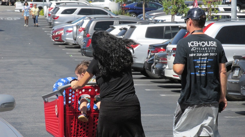
A family heading back to the car

Emp 42 Pkng Shoppers

Shoppers in the parking lot at Empire Center

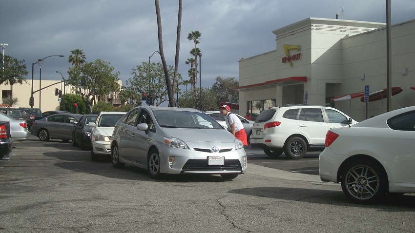
And let’s not forget the other great American pastime of sitting in a line of cars waiting for food.

Emp 50 INO A

Line of cars waiting for their turn at the window

Emp 52 INO B EDITED

The line of cars looping back through the parking lot

Emp 54 INO C 2 EDITED

The line of cars extends back around the building

Let’s face it. This is what powers our economy. Which I’m sure is why two of the primary goals of this project involve making it easier for people to drive to the Empire Center. Cars don’t just make it easier for Americans to buy stuff. Cars themselves are products that Americans love to buy. For decades one of the main drivers of the US economy has been the auto industry. After WWII, car manufacturing helped make the US the world’s major economic power. The jobs generated by the industry helped to create the American middle class, and the fact that they were union jobs meant fat paychecks that pumped dollars into the consumer economy. When the big auto makers were on the ropes a decade ago, Washington stepped in to rescue them, and the rebound in car sales was one of the things that lifted the US out of the recession.

Emp 70 Car Truck

Freeway onramp to be permanently closed

But it does seem like we have a problem. One the one hand, we have government officials telling us we need to get away from cars and rely more on transit if we want to fight climate change. On the other hand, we have government officials, sometimes the same ones, promoting efforts like the Empire Interchange/Interstate 5 Improvement Project. We’re spending tons of money on transit, and at the same time we’re spending tons of money to make it easier for people to drive to the mall.

Does this make sense to you?

Emp 60 New Rd 3 Depth

Completed section of new roadway near Empire Center

Here are some links to basic info about the project.

Burbank Empire Project Page

The Empire Project: A Virtual Tour

My5LA Home Page

And here’s a story from the Burbank Leader that covers some of the reasons for delay.

5 Freeway Project, Hampered by Winter Weather, Has New Finish Date

Emp 90 Detour Clouds

Fire Season

Fire 05 Red Sun

Saturday morning I went outside while it was still dark. As I walked past an overhead light I looked up and saw a stream of tiny particles drifting down to the ground. It was ash. I knew there was a fire somewhere.

It wasn’t until later in the day that I found out the fire was in Santa Clarita. I was in Burbank, and looking toward the north you could see a massive, dark, grey cloud spreading across the sky.

A view of the sky over Burbank on Saturday.

A view of the sky over Burbank on Saturday.

The older I get, the more uneasy I feel during the fire season. I’m not worried about my own safety. The most destructive fires generally happen far away from the center of the city. What really scares me is knowing that thousands of acres and millions of trees are going up in smoke. Tune in to the news and you can see raging infernos sweeping across California’s hills and mountains. Sometimes it feels like the whole state is on fire.

I just mentioned how uneasy I felt during the fire season, but I should have said “seasons”. In California there are actually two periods when fires are likely to burn. The summer season, when high temperatures dry out our forests, and the Santa Ana season, when hot winds drive fast-burning blazes that generally threaten coastal areas. In recent years, both of these periods have grown longer, and the fires have grown larger. See this article from KCET’s web site for more details.

California Has Two Fire Seasons, and Climate Change Will Make Both Worse

The sun seen through smoke from the Santa Clarita fire.

The sun seen through smoke from the Santa Clarita fire.

There’s a growing body of evidence that suggests that the hotter, drier weather we’ve been experiencing for years now isn’t just a drought, but that the climate in the Western US is changing. Snow packs have been declining for decades, and warmer temperatures are causing the snow to melt earlier. This is one of the reasons that our summer fire season has grown longer and more destructive.

If climate change is a factor in causing more large scale fires, this is doubly disturbing, because these fires also release huge amounts of carbon into the air. More carbon in the atmosphere accelerates climate change, which scientists believe will lead to even hotter, drier weather, which will lead to more intense and more destructive fires. This article from Berkeley News summarizes the findings of a study conducted by the National Park Service and UC Berkeley.

Wildfires Emit More Greenhouse Gases than Assumed

Watching thick, dark smoke billow across the sky on Saturday was scary. But what’s even scarier is what will happen in the years to come if the scientists are right. The evidence has been mounting for years that our addiction to fossil fuels will cause irreversible damage to the planet. We’ve made some progress on reducing greenhouse gas emissions in California, but we need to do a lot more. Otherwise our skies, and our future, will continue to grow darker.

A view of the sky from Riverside Dr. on Saturday.

A view of the sky from Riverside Dr. on Saturday.

So What Are We Really Getting Here?

The new Regional Intermodal Transportation Center at Burbank Airport.

The new Regional Intermodal Transportation Center at Burbank Airport.

I’d heard that the Burbank Airport’s new Regional Intermodal Transportation Center opened some weeks ago, and I’d been meaning to check it out. This morning I went over and took a few photos. It looks nice, but at this point I’m not sure if it’s bringing any huge benefits.

I understand that it’s a work in progress, and I hope the completed project lives up to the PR, but right now it seems like what they’ve got is a massive new parking structure that houses a bunch of rental car companies. The MTA web site says….

“[The RITC] establishes the first direct rail-to-terminal connection at any Southern California airport.”

Actually, the airport was built adjacent to the rail line, which has been there since before WWII, and access to the Metrolink/Amtrak stop is no easier than it was before. Even the proposed bridge to the tracks isn’t going to make a huge difference. At some point the RITC is supposed to house a bus terminal, and that could be useful. Bicycle storage facilities are included in the project, but I’m not sure how many people are going to ride a bike to or from the airport.

Metrolink/Amtrak stop near Burbank Airport.

Metrolink/Amtrak stop near Burbank Airport.

Below is a link to an article on Curbed. It’s a brief piece that just gives the basic facts about the RITC, but the comments are interesting.

New Transit Center at Bob Hope Airport

Some commenters point out that there would be real benefits in extending the Orange Line to Burbank Airport, and I agree completely. There is a shuttle from the transit center in North Hollywood to the airport, but light rail would be so much easier. I think, though, that plan was proposed years ago, and the MTA couldn’t sell it to the community. If I remember correctly, the Orange Line was originally supposed to be a light rail line that ran from Burbank Airport to Warner Center. As I recall, people in Burbank didn’t like the idea, and residents along the Chandler corridor were up in arms about trains running through their neighborhood. Cost was also a factor. So the MTA settled for what they could get, which was an express bus line from North Hollywood to the West Valley.

At Hertz, you're not just renting a car, you're renting a fantasy.

At Hertz, you’re not just renting a car, you’re renting a fantasy.

I don’t mean to dismiss the RITC, because in time it could become a useful transit nexus. But at this point it seems to be more about hype than about real benefit to the community.

From the RITC, a view of the mountains to the north.

From the RITC, a view of the mountains to the north.

How to Find the LA River

A view of the LA River in the late afternoon

A view of the LA River in the late afternoon

When I was a kid growing up in Burbank the LA River was a joke. It wasn’t a river at all. It was a huge concrete aqueduct with a tiny trickle of water running down the middle of it. Occasionally after heavy rains the water level would rise for a day or two. But it was nothing like the majestic waterways that flowed through other cities. It seemed like some kind of weird, synthetic excuse for a river, and it seemed perfectly in keeping with the image many people had of a LA as a weird, synthetic excuse for a city.

The LA River near Warner Bros. studios in Burbank

The LA River near Warner Bros. studios in Burbank

But over the years I’ve been hearing more and more about efforts to rethink the river. I understand now how important the LA River once was to the city, and I’m slowly beginning to realize how important it could be to LA’s future.

Back in the eighteenth century it was the source of water for the small settlement originally called El Pueblo de Nuestra Señora la Reina de Los Angeles. The river continued to provide most of LA’s water until the twentieth century, when the Owens Valley Aqueduct and the Colorado River Aqueduct were built. In the thirties, after a series of devastating floods, it was decided that the best thing to do with the LA River was encase it in cement. The US Army Corps of Engineers took charge, supervising one of the largest public works projects in US history. When it was done, the river had been transformed into a massive concrete channel.

But over the past twenty years or so, a growing number of people have been looking for ways to reclaim the river, to once again make it a vital part of the life of Los Angeles. It flows from Canoga Park across the Valley to the Glendale Narrows, and then winds through Downtown and continues all the way to Long Beach. In making that trip it is one of the few unifying factors in a city where residents often feel they have no connection to each other. It has the potential to become a vast linear park, winding its way through many of LA’s neighborhoods, providing a space where people could relax, enjoy themselves and connect with nature.

Lush greenery along the river as it runs through Griffith Park

Lush greenery along the river as it runs through Griffith Park

There are many groups involved in the effort to remake the river, but the one that’s been around the longest is Friends of the LA River.

FoLAR

If you’re interested in getting involved, there’s probably a group in your neighborhood that could put you to work.

A while ago I started taking photos of the river. It was an interesting exercise. I found that while the river has been there all my life, and I’ve crossed it at one point or another every day for decades, I’ve never taken the time to look at it. How many times did I drive past Balboa Park without ever realizing that the LA River runs right through it. I lived in Silverlake for a few years, and used the Hyperion Bridge regularly, but I never looked down to see what was below. And I’ve crossed the bridges east of downtown LA a million times, rarely pausing to take more than a glance at the river running underneath.

So if, like me, you haven’t paid much attention to the LA River, maybe you should take a walk down to the banks some time. You might be surprised at what you find.

Trees crowded around the river in Balboa Park

Trees crowded around the river in Balboa Park

Another shot of the park facing toward Balboa Blvd.

Another shot of the park facing toward Balboa Blvd.

Ducks on the river in Sherman Oaks

Ducks on the river in Sherman Oaks

More birds on the river as it flows through Sherman Oaks

More birds on the river as it flows through Sherman Oaks

Another shot of the river on the edge of Griffith Park

Another shot of the river on the edge of Griffith Park

Facing west on the outskirts of Griffith Park

Facing west on the outskirts of Griffith Park

A mural marking a tiny, but cool, park in the Glendale Narrows

A mural marking a tiny, but cool, park in the Glendale Narrows

The Glendale Narrows, just below Atwater

The Glendale Narrows, just below Atwater

The river flowing past the railyards at the edge of Downtown LA

The river flowing past the railyards at the edge of Downtown LA

The river heading out of Downtown LA, on its way to Long Beach

The river heading out of Downtown LA, on its way to Long Beach