
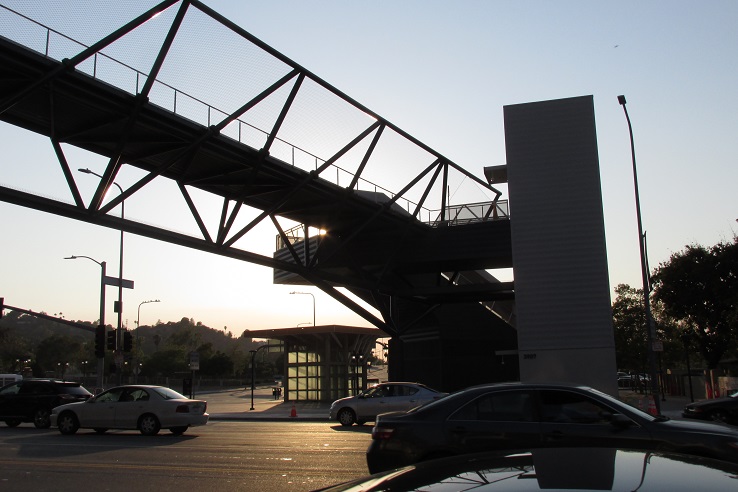
Back in 2017, I walked across the Fourth Street Bridge and took a bunch of photos, thinking it would be a great subject to write about on this blog. Now, only seven years later, I’m finally getting around to doing this post. What can I say? Time flies….

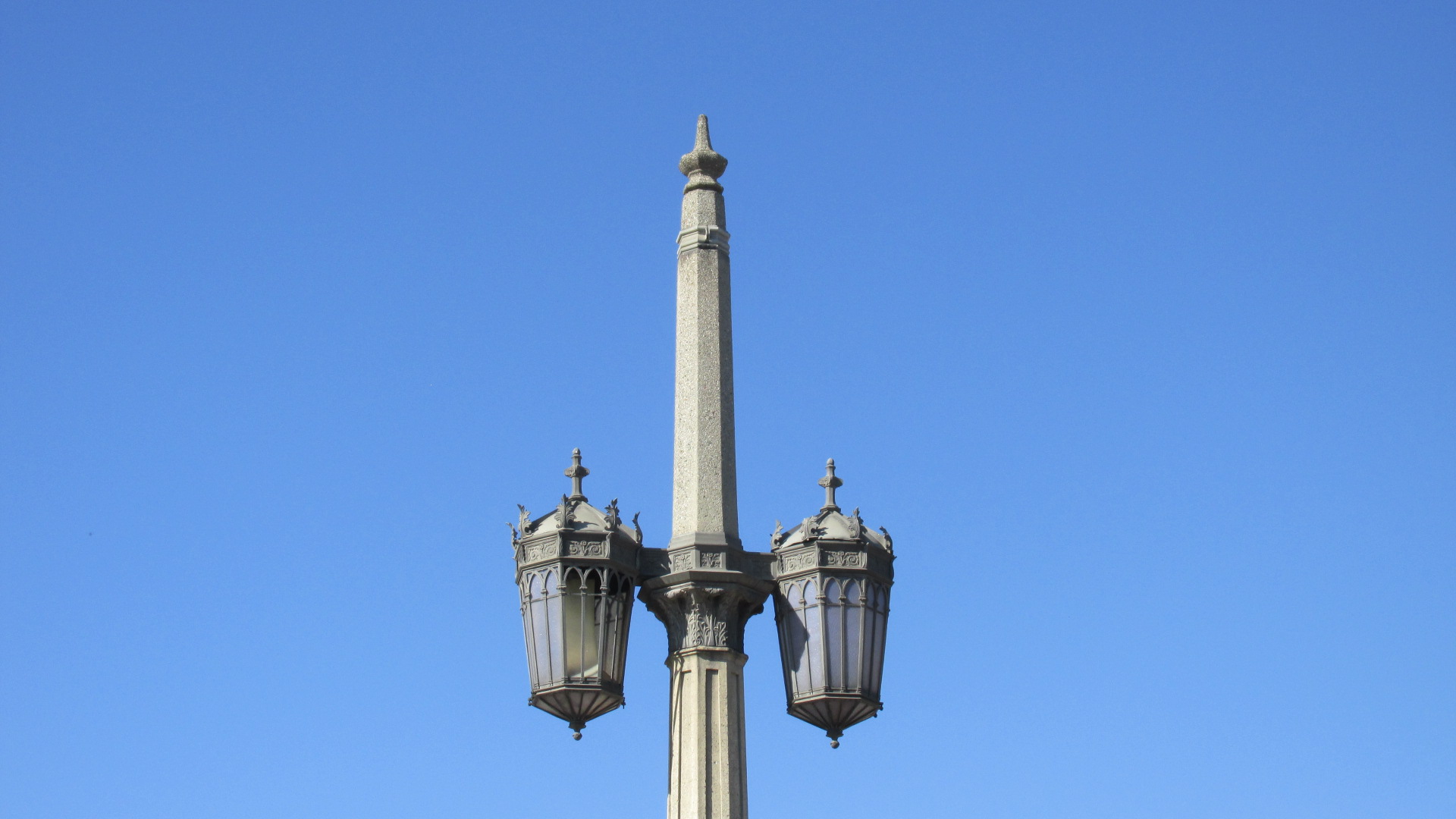
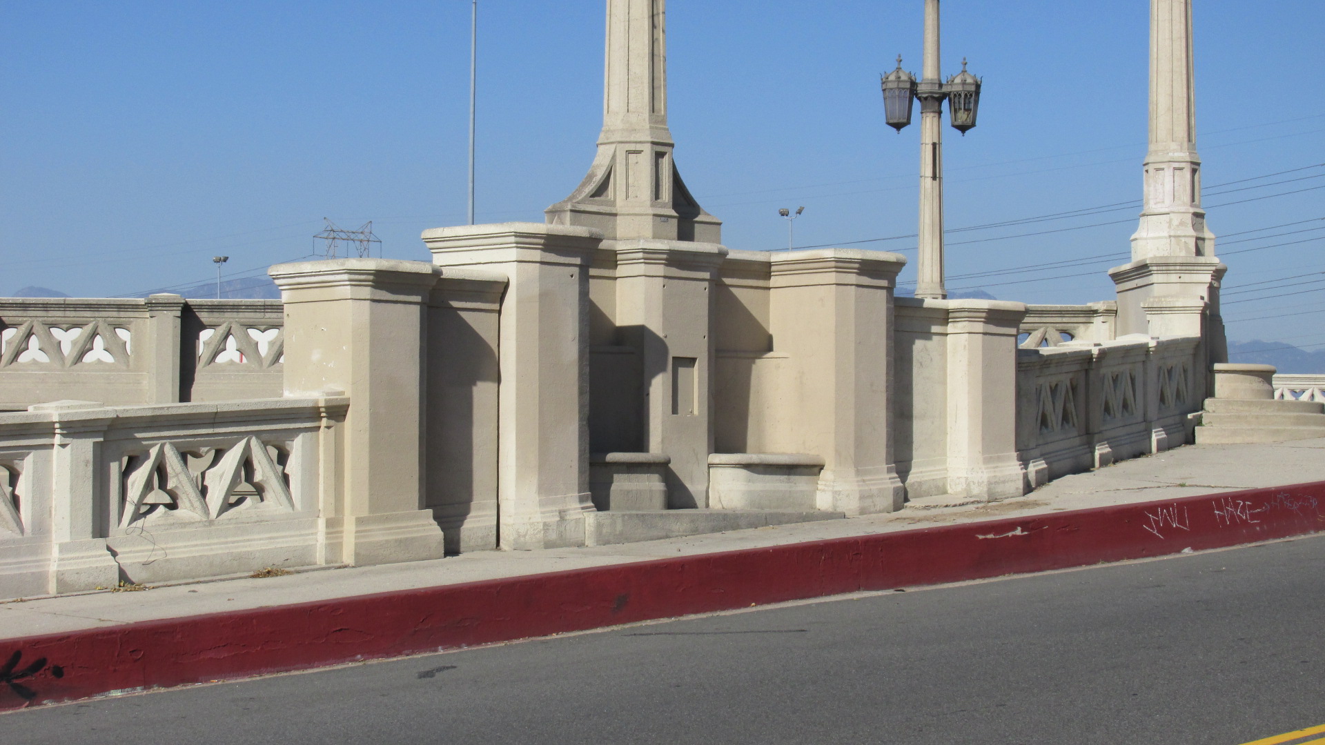
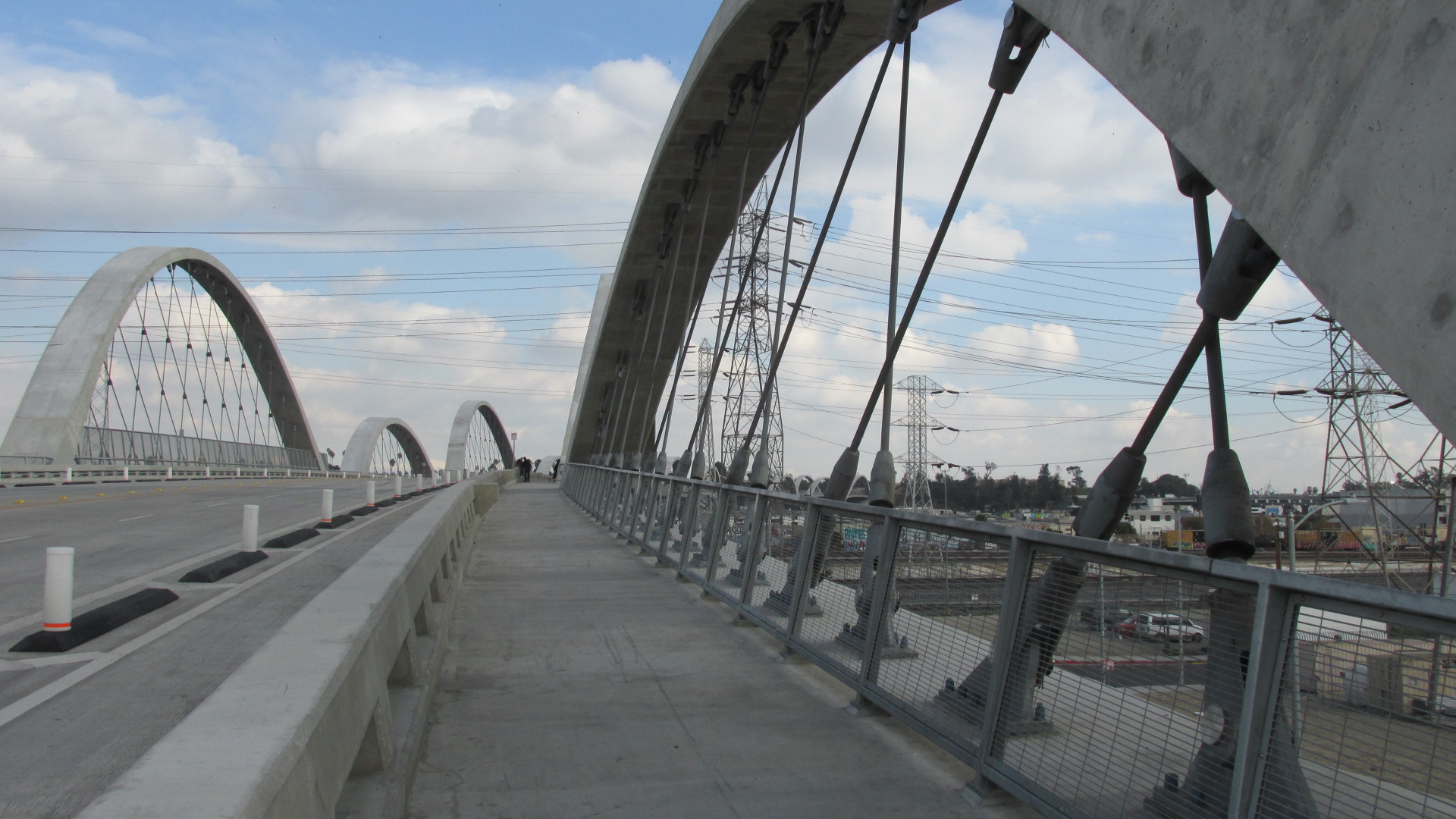
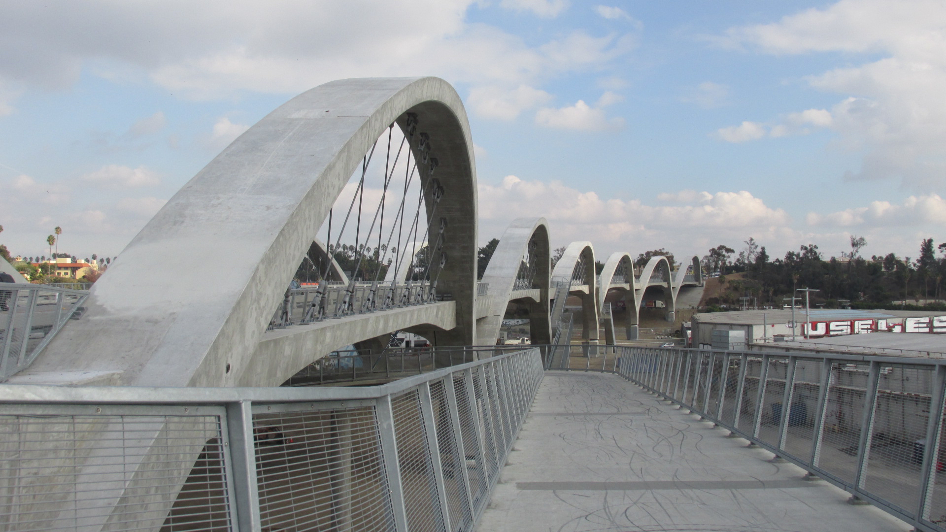
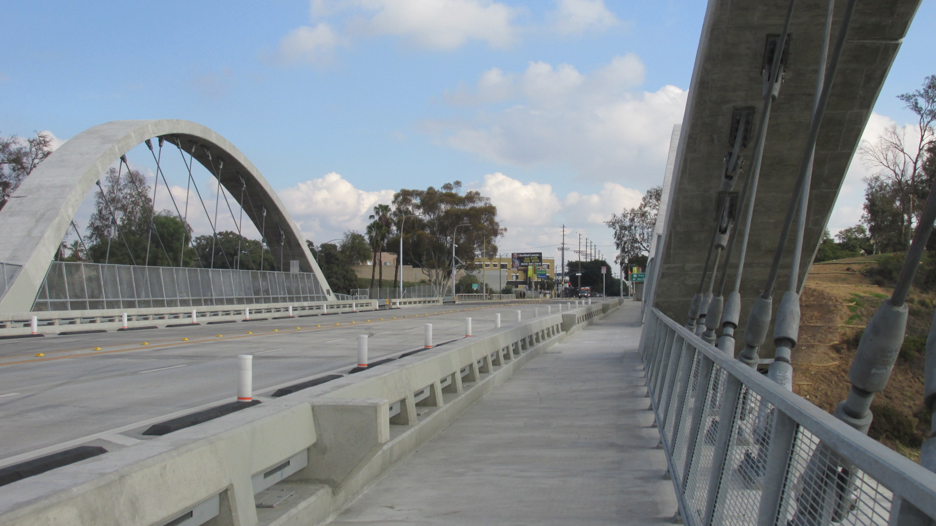
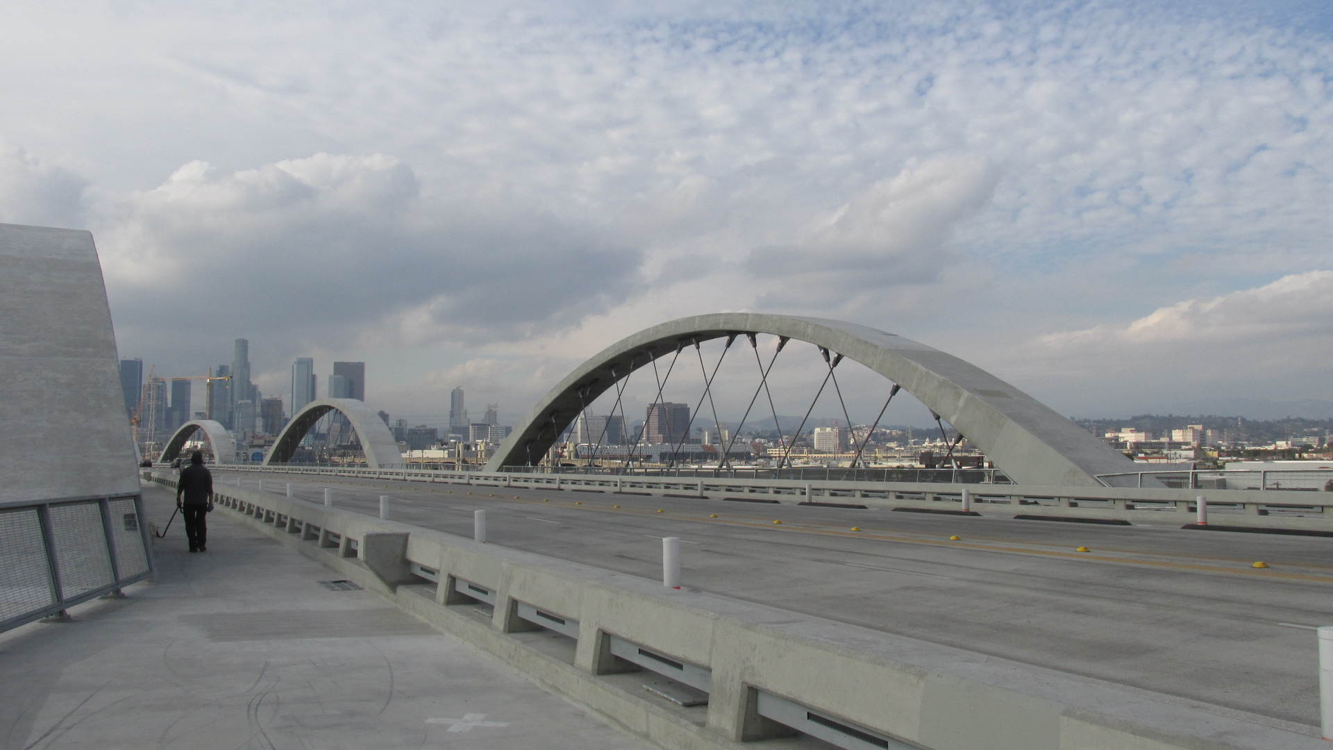
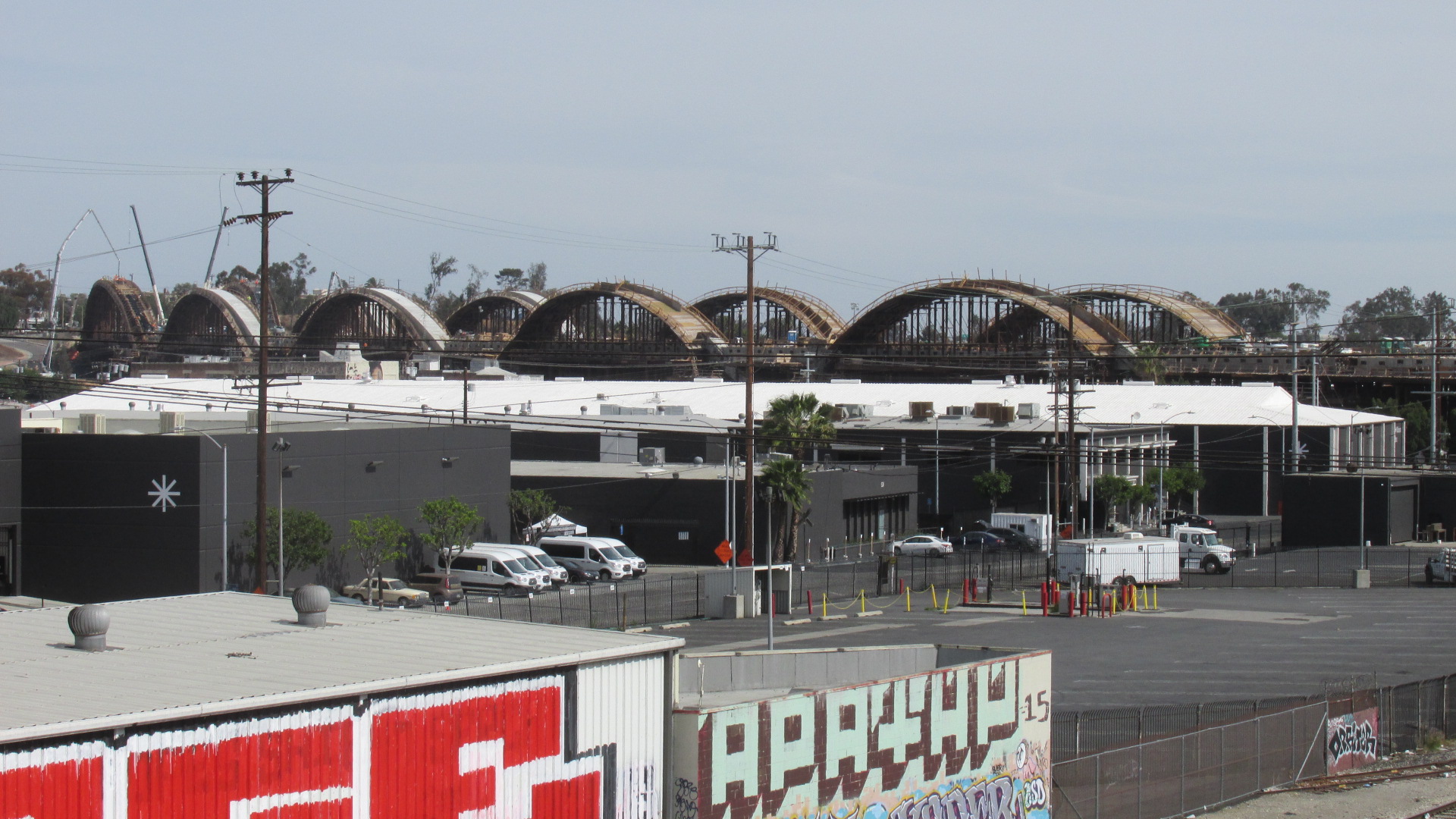
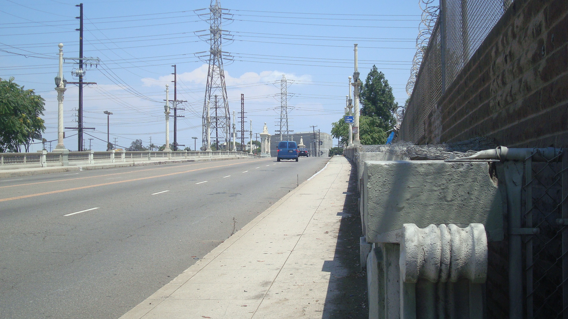
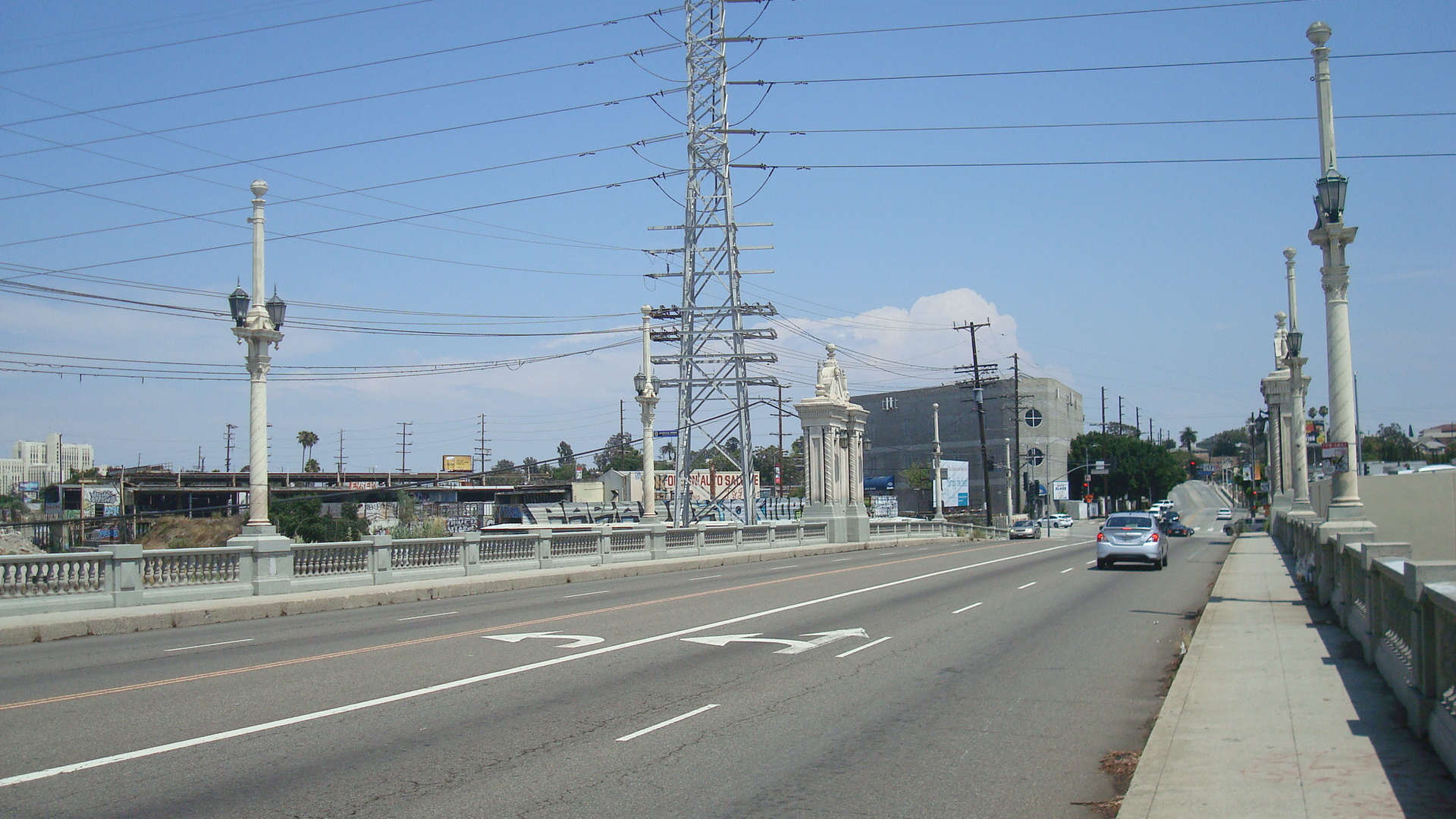
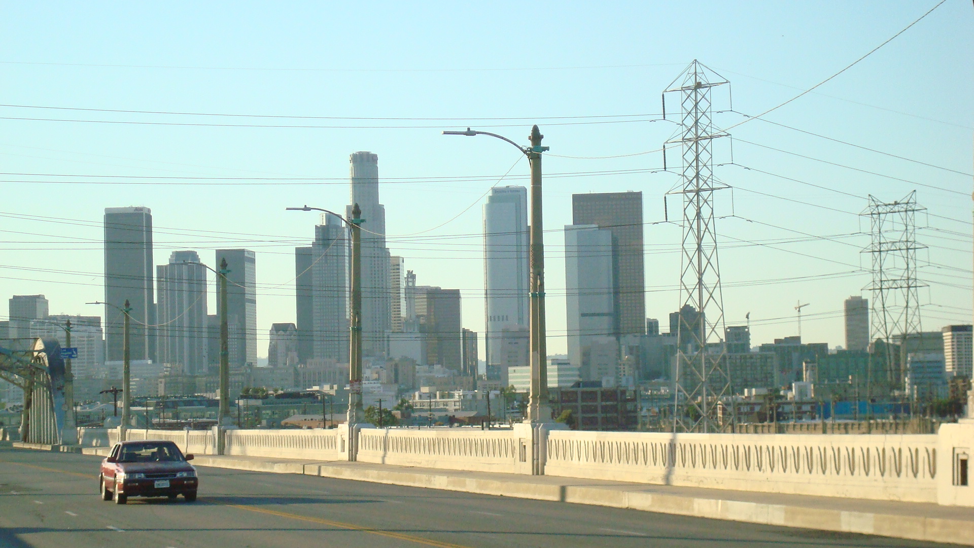
To my mind, the Fourth Street Bridge is one of the most striking bridges in LA. I don’t claim to be an architecture critic, but it seems like there was unusual amount of care put into the design. The streetlights, porticos and concrete railing were fashioned in a mix of Beaux Art and Gothic Revival styles that was carefully worked out by the architects. These aren’t just decorative elements that were tacked on. They’re well-suited to the scale and the massing of the bridge.

Constructed in 1931, the bridge was part of a massive investment in infrastructure made possible by the passage in the 20s of LA’s Viaduct Bond Act. (To show you how ignorant I am, I didn’t know until recently what the difference was between a bridge and viaduct. Apparently, a bridge is a small structure built to cross a fairly narrow river or ravine. A viaduct is a larger structure made up of a series of bridges that crosses a wide river or a valley. But I’m still going to call it the “Fourth Street Bridge”. Old habits die hard.)


The Fourth Street Bridge was built by the LA City Bureau of Engineering under the supervision of Bridge and Viaduct Engineer Merrill Butler. Butler had a long career in LA, working for the City in various capacities until his retirement in 1961. Over the years the projects designed under his direction included the First Street (now Cesar Chavez) Bridge, the Hyperion Bridge, the Figueroa Street Tunnels and the Hyperion Sewage Treatment Plant.
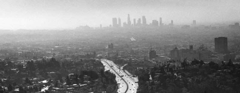
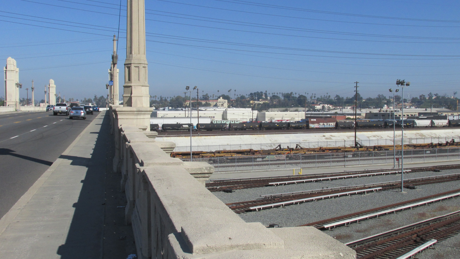
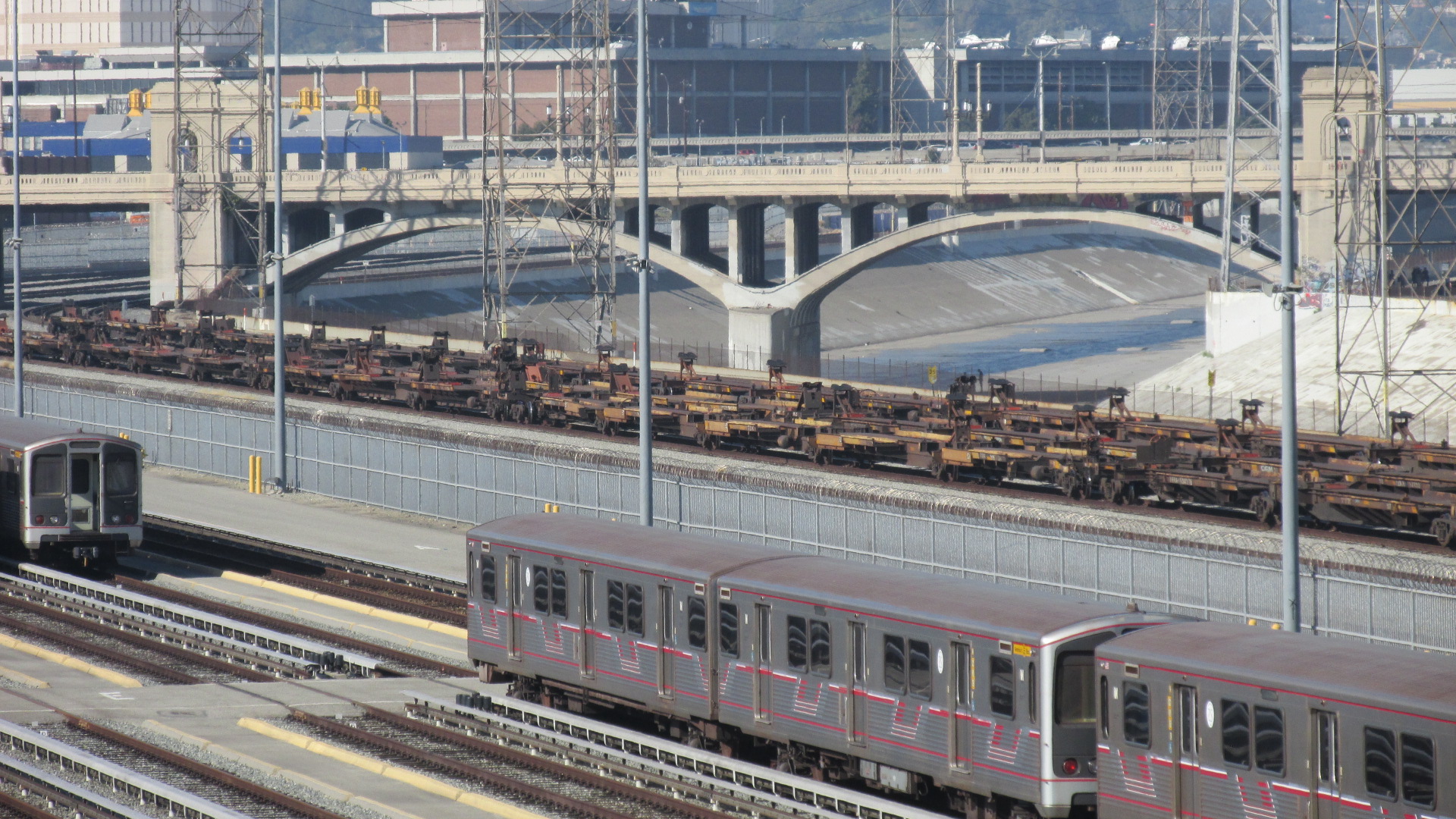
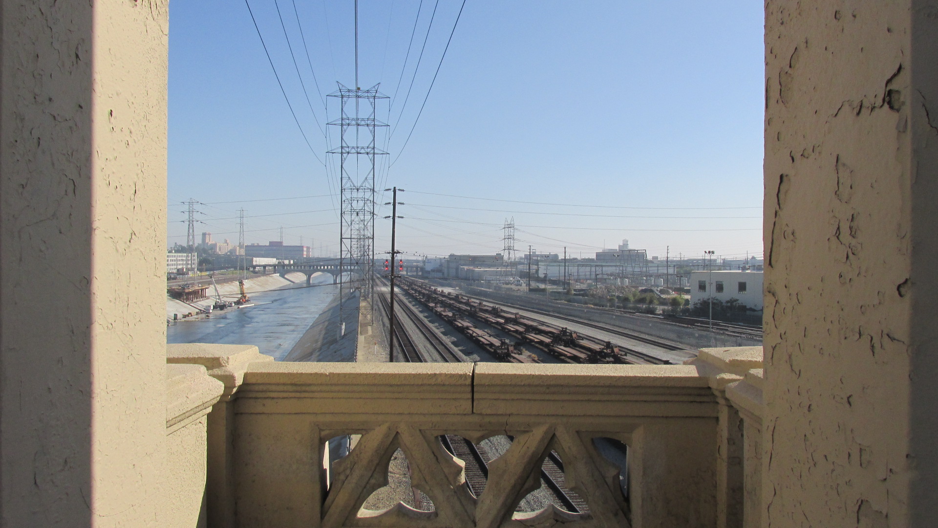
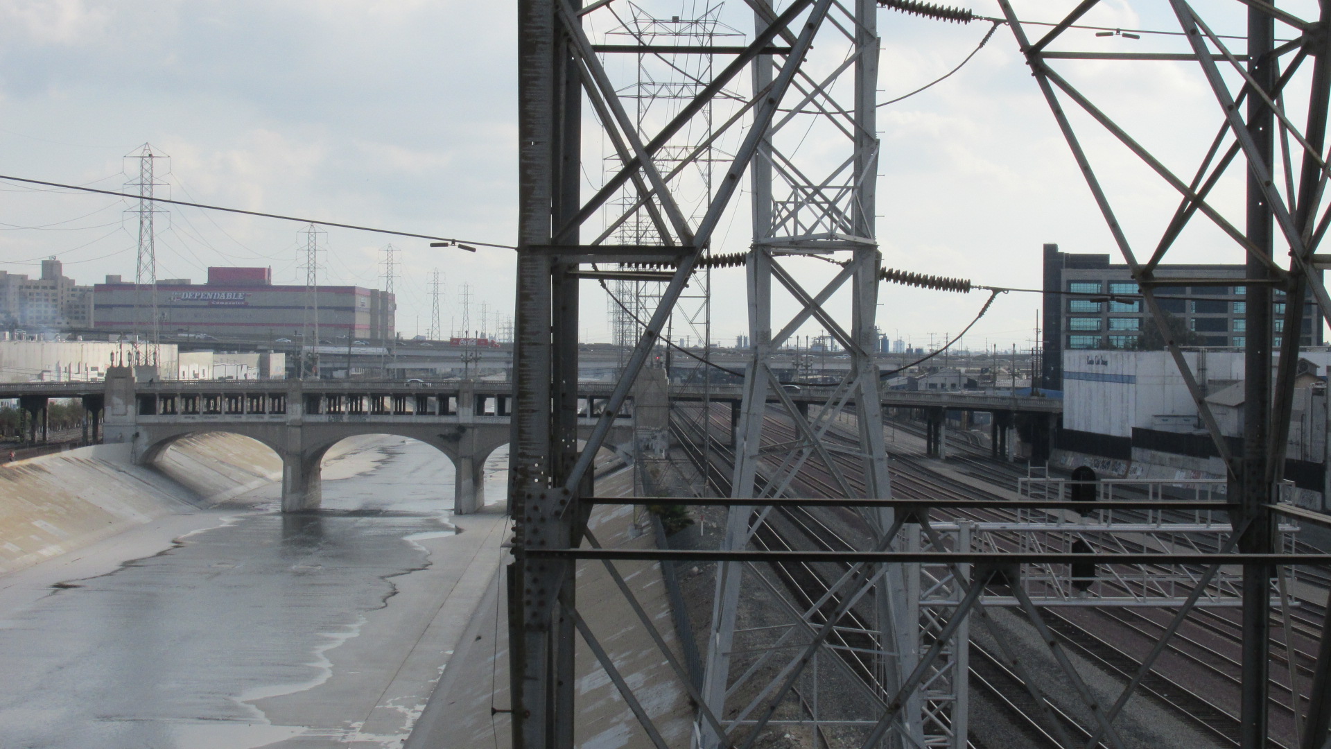
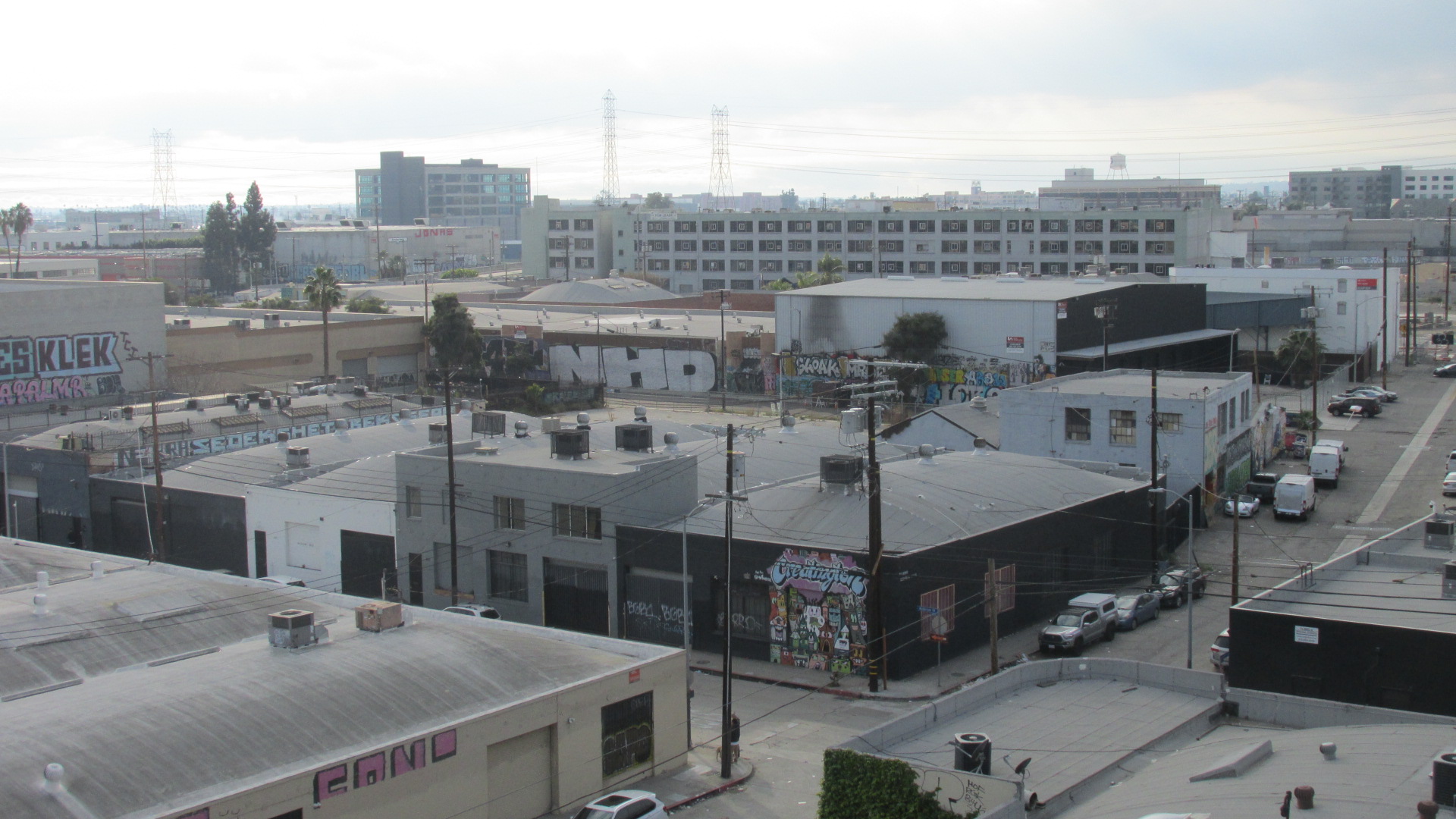
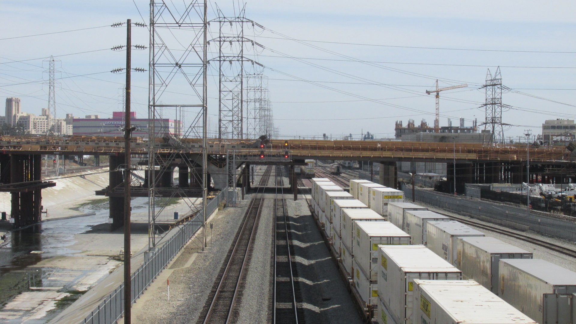
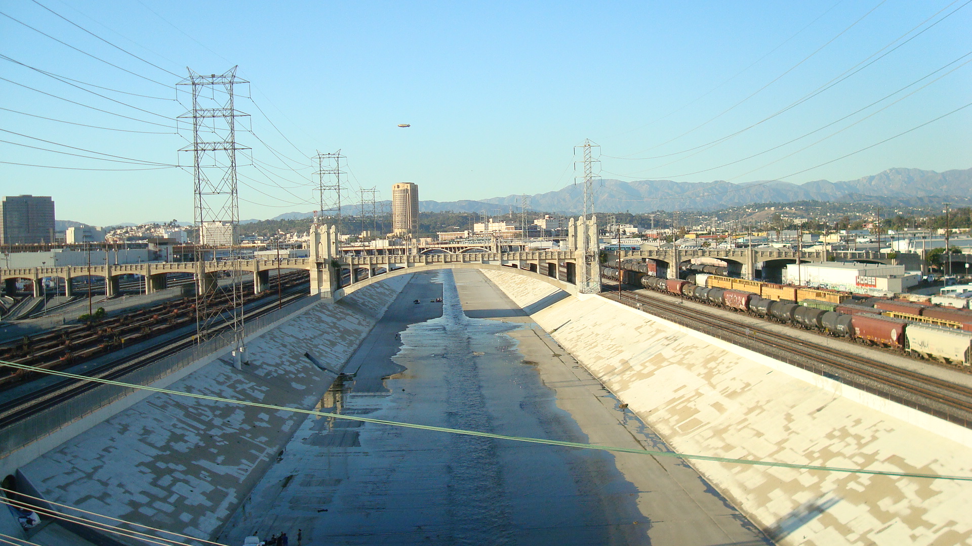
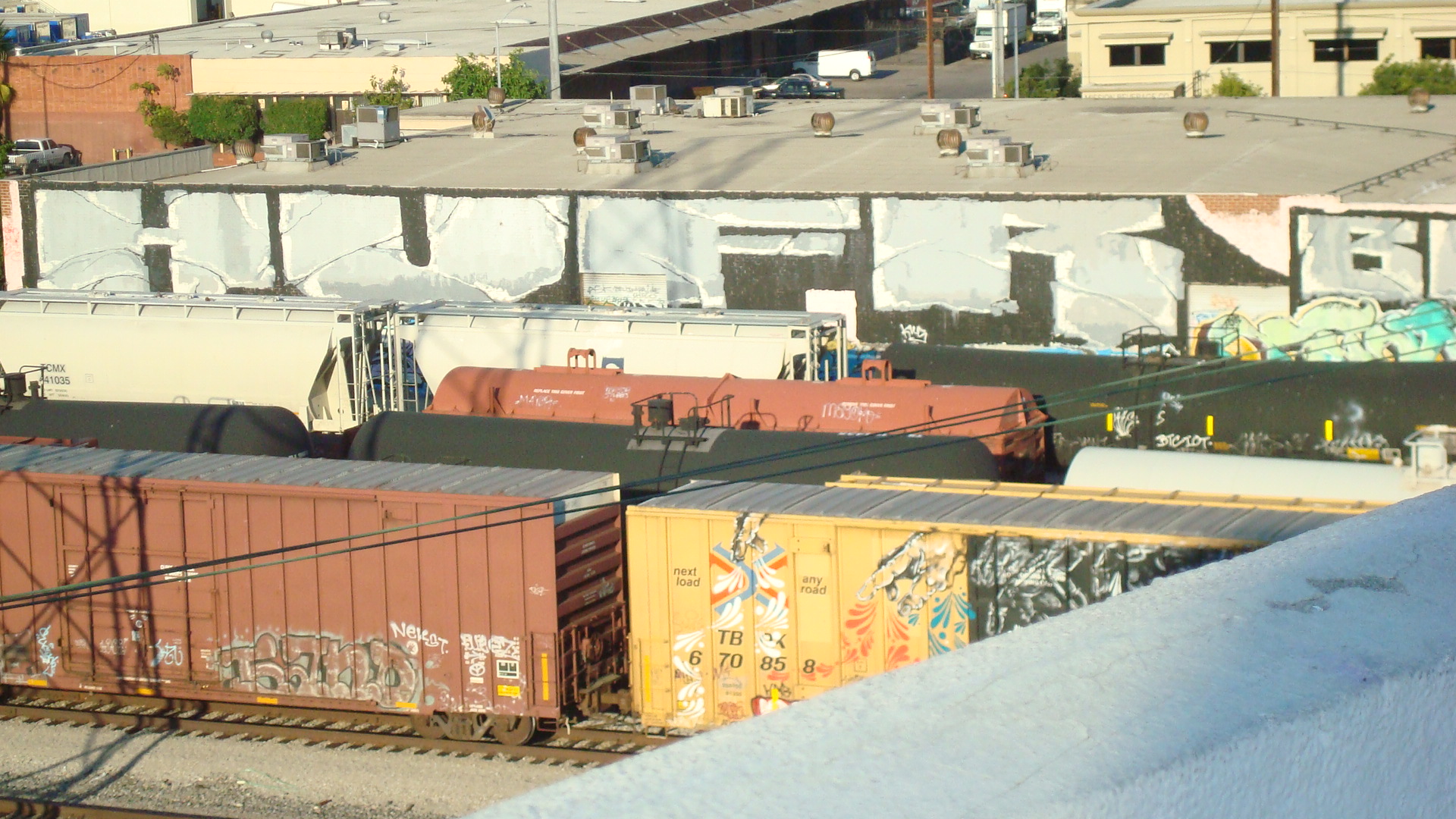
The series of bridges that connect East LA to Downtown are part of a massive infrastructure nexus that played a key role in LA’s growth. In the latter part of the 30s, work began on the flood control projects that would shape the LA River as we know it today. One of the reasons for encasing the River in concrete was to protect the rail lines that ran adjacent to it. You couldn’t move goods without trains. And rising above the concrete channel is a vast network of power lines.


In 1995, the Fourth Street Bridge was retrofitted to bring it into compliance with current seismic safety standards. And in 2008 it was declared a Historic Cultural Monument by the City of LA.

Here are a couple of links, for anyone who wants to dig a little deeper. Thie first will take you to Water & Power Associates, which has a number of historic photos of the Fourth Street Bridge. And if you’re into LA history, check out the Museum tab in the index on the left. Their virtual museum offers an amazing collection of images and information.
Fourth Street Viaduct at Water & Power Associates
And here’s a brief bio on Merrill Butler that was apparently written at the time of his retirement. Not surprisingly, it’s pretty superficial, but it also seems to offer a small snapshot of mid-century LA. A different time, a different culture.
Merrill Butler Bio from LA Public Library


