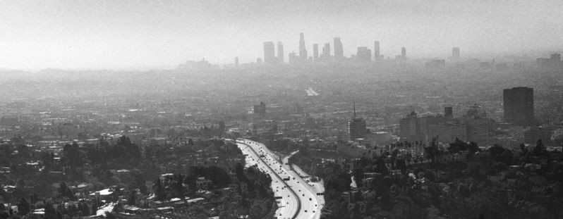
With everything else going on this year, you could be forgiven if you haven’t thought much about LA’s dwindling water supply. But it’s important for all of us to remember that all of the water resources LA depends on are declining. After a number of dry years, we had a couple of really wet ones, and many people thought our troubles were over. Unfortunately, a couple seasons of unusually high precipitation didn’t wipe out our water deficit. To get a sense of the scary reality we’re facing, take a look at this map which shows the areas of California that are currently experiencing unusually dry conditions.

As you can see, almost the entire State, with the exception of coastal Southern California, is dealing with dry, in some cases exceptionally dry conditions. This is, of course, one of the main reasons why Northern California was ravaged by a record number of fires this year. But to really understand the scope of the problem, take a look at this map of the whole US.

As you can see, it’s not just California. Much of the Western United States is extremely dry. Climatologists are in pretty much universal agreement that climate change is a primary factor, but it isn’t the only factor. One of the major reasons we’re in this situation is that the Western US has been recklessly depleting its water resources for decades.
All you have to do is take a look at the Colorado River. Seven western states depend on the Colorado for water. Unfortunately, the combined annual allocations for these states amounts to more water than the total annual flow. This means there’s a structural water deficit. We’re using more water than the River actually contains. Over the past several years, the levels at Lake Mead have repeatedly fallen to precariously low levels. Here’s a photo from November 2018 that illustrates the problem.
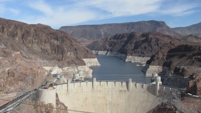
The white band around the perimeter shows the difference between how high the water used to rise and how low it’s fallen in recent years. Lake Mead is considered full when the water level reaches 1,229 feet. Right now it’s at 1,081 feet, which is 6 feet above 1,075, the point at which the first round of reductions in allocations kicks in. Because the level has fallen dangerously low a number of times in recent years, the western states that get water from the Colorado River have worked hard to develop a drought contingency plan. If the levels continue to decline, which is likely, the plan provides an orderly framework for allocation reductions. This is an important step, but it’s not a solution. Here’s a quote from Jeffrey Kightlinger, General Manager of the Metropolitan Water District….
The drought contingency plan is, in many respects, just a tourniquet; we’re basically bleeding out on the Colorado River.
The interview this was taken from was published in the June, 2019 issue of The Planning Report. If you have a few minutes, it’s worth reading, because Kightlinger lays the problem out clearly.
MWD Achieves Consensus on Colorado River Drought Contingency Plan
But it’s not just the decline of the Colorado we need to worry about. To repeat. All of the water resources LA depends on are declining. A look at the maps above should make it clear that deliveries from the State Water Project will likely be reduced. We can’t depend on the LA Aqueduct the way we used to. And much of the groundwater LA has access to is contaminated. Remediation efforts will take many years, if not decades.
State and local leaders seem to think that if we build another tunnel or move more quickly on water recycling projects we’ll come out okay. They’re wrong. For the last century, Californians have clung to the myth that this is the Golden State and that we can keep growing forever. We can’t. There are very real limits that we have to accept, and fundamental facts we can’t ignore. We have a finite supply of water. That supply is shrinking. If we don’t accept that fact, we’re heading for disaster.
