A Walk across the Sixth Street Bridge

A view of the Sixth Street Bridge from Mateo Street.

The new Sixth Street Bridge opened in July of this year.  The first few weeks were pretty chaotic, with drivers doing stunts, daredevils climbing the arches, street artists getting creative with spray paint, and more.  Things got so bad the LAPD ended up closing the bridge just to keep a lid on the mayhem.  Scenes of crashes, fireworks and people partying were making the nightly news.

Starting across the bridge from the Downtown side.

But now all the chaos seems to have faded away.  When I took a walk across the bridge earlier in December, there wasn’t much traffic and I saw only a handful of pedestrians.  It was a cool, cloudy day, and things seemed pretty peaceful.

The bridge’s arches create a sense of energy.

I have mixed feelings about the Sixth Street Bridge, which I’ve written about previously.  In this post I want to focus on the positive.  The bridge really is beautiful.  The design, by Michael Maltzan, is impressive, with the fluid lines of the arches rolling off to the horizon.  Walking across you get a sense of being lifted into the air, with stunning views of LA’s various landscapes surrounding you on all sides. 

The new Sixth Street Bridge is actually a replacement for the previous version, which was built in the early 30s.  It’s just one of a series of bridges that run across the LA River between Downtown and East LA, including the Cesar Chavez Bridge, the Fourth Street Bridge, and the Seventh Street Bridge.  All of these were built in the first half of the 20th century.

A view of the Fourth Street Bridge.
A view of the Seventh Street Bridge.

As you can see from the photo above, this area, which borders Downtown LA, is criss-crossed with multiple layers of infrastructure.  Aside from the bridges, you have the concrete surface of the LA River, rows of train tracks, and miles of electric power lines, all surrounded by a massive industrial district. 

The arches rolling off to the horizon.

Beneath the bridge you can see scores of large, nondescript buildings which were built for manufacturing and storage.  These days you’ll probably find that a number of them have been converted to ghost kitchens and cannabis greenhouses.

A view of the industrial district that lies below the Sixth Street Bridge.
Scores of drab buildings cover the landscape.

Nestled inside this vast maze of commercial buildings you’ll often come across pockets that seem neglected or deserted.  These spaces are a magnet for street artists that love the expansive, windowless exterior walls. 

The desolate spaces between these buildings draw street artists…
…who love the wide, windowless exteriors.

Coming down on the other side of the bridge, Sixth Street becomes Whittier Boulevard, which is lined with shops and restaurants serving the working class community of Boyle Heights.

The bridge lands in Boyle Heights.

It will probably be a long time before we can really see the impacts caused by the new Sixth Street Bridge.  There’s been lots of hype about the upside of this new LA landmark, but it’s also likely to accelerate the waves of gentrification and displacement that have been sweeping across the city.  Property values have already risen in Boyle Heights, and so has the number of evictions.

Like I said, though, for the moment I’ll focus on the positive.  It is a lovely bridge.

Work Continues on Sixth Street Bridge

The Sixth Street Bridge’s arches rising above the surrounding landscape.

Work on the new Sixth Street Bridge is still moving along.  Originally scheduled for completion in 2019, it’s now supposed to be finished by summer of 2022.  This shouldn’t surprise anyone who follows the progress of large infrastructure projects.  It’s also no surprise that the cost of the project has risen from $420 million to $588 million.  But even though repeated delays and cost overruns are fairly common with projects of this kind, it seems like LA is especially prone to these problems.  (I guess it could be worse.  Just take a look at the California High Speed Rail.)

LA River running beneath the Sixth Street Bridge.

When the bridge is done, there are plans to create a 12-acre park within the bed of the LA River, with public art and recreational programs.  I hate to be cynical, but it will be interesting to see what actually materializes.  While the FTA and CalTrans are helping with funds for the construction of the bridge, I don’t know if they’re also kicking in for the park.  I mention this because the LA Recreation & Parks Department is chronically underfunded, and can’t even maintain existing parks.  I’m also concerned because it seems some of the features that were supposed to be included in the new bridge have been cut.  The original design had protected bike lanes.  Apparently those are gone.  And I’ve seen some chatter on-line about the removal of the stairs that would have connected the bridge to the park, but I haven’t been able to find any confirmation.

Downtown side of the bridge.

But the biggest cause for concern is that the completion of the bridge will bring further gentrification and displacement on the east side of the LA River.  Many residents of Boyle Heights and surrounding communities are worried that the Sixth Street Bridge will bring another wave of real estate investors looking to cash in.  The eviction of the seniors at Sakura Gardens is not a good sign.

Many people are excited about the new Sixth Street Bridge and its promised benefits.  I hope their optimism is justified.  When I first heard about the project years ago, I was excited, too.  I have to say that now my hopes are outweighed by a deep cynicism.  The City of LA’s leaders have been promising a more livable, equitable city for years.  Instead it seems that the population is increasingly divided and increasingly desperate.  Bridges are supposed to bring people together, but I’m worried that this one will end up driving people apart.

The River After the Rain

We had a lot of rain in February. Not long after the storms passed I took some photos of the LA River along the Glendale Narrows. While it was nothing like the raging torrent it had been a few days before, the runoff from the rains was still flowing freely. It was a great day to take a walk along the river.

Where Is this Bridge Going?

B6 00 1708 Wide Long 2

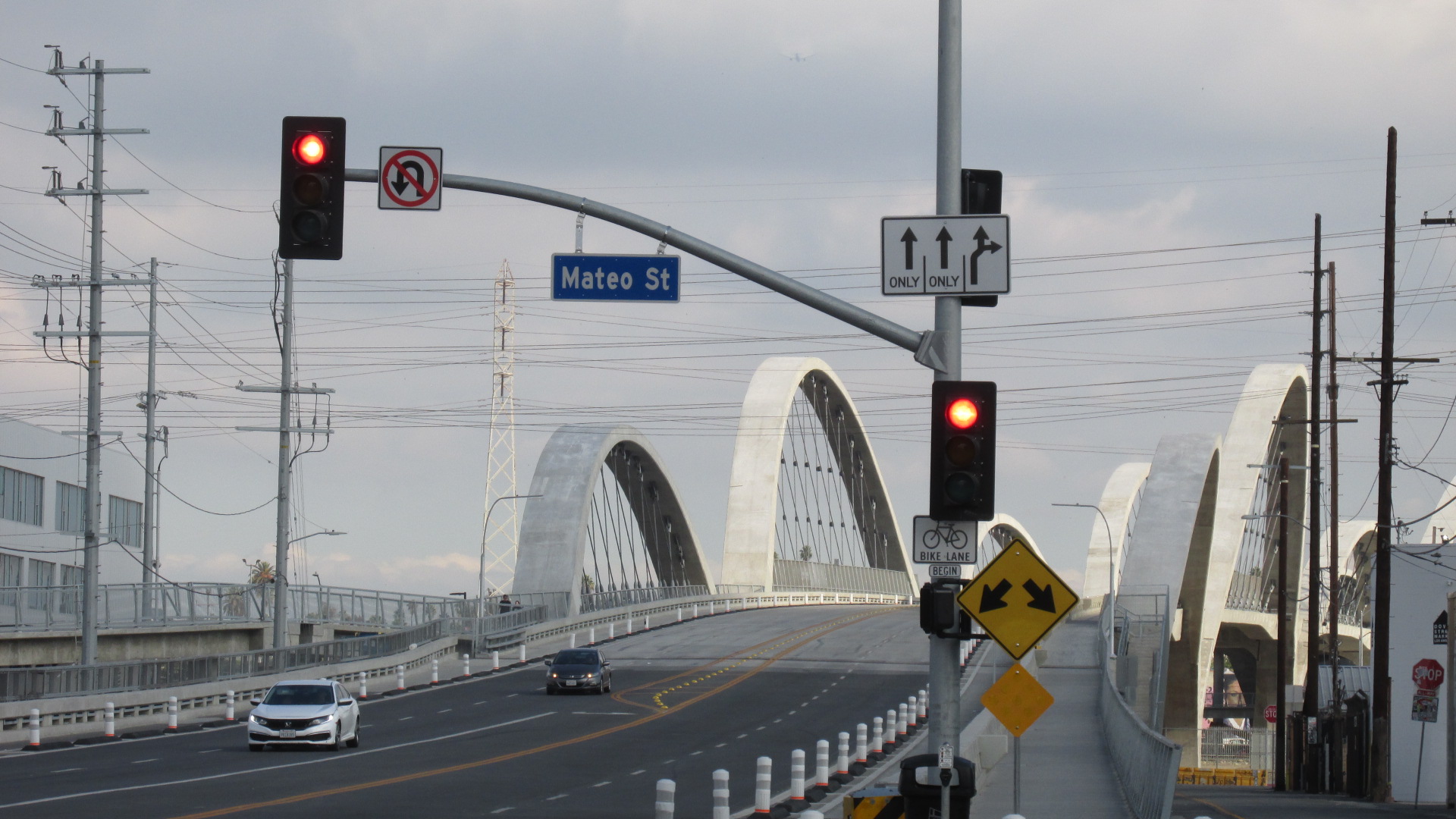
The old Sixth Street Bridge is gone. It was torn down early in 2016. The demolition was necessary because the concrete in the original structure was decaying. Work has begun on constructing a new Sixth Street Bridge, and right now it looks like it will be finished in 2020. (For the record, the formal project title is the Sixth Street Viaduct Replacement Project.)

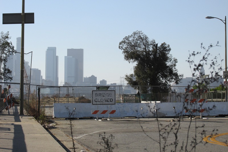
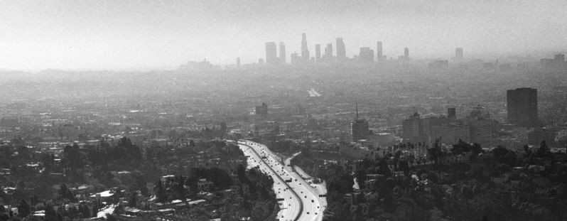
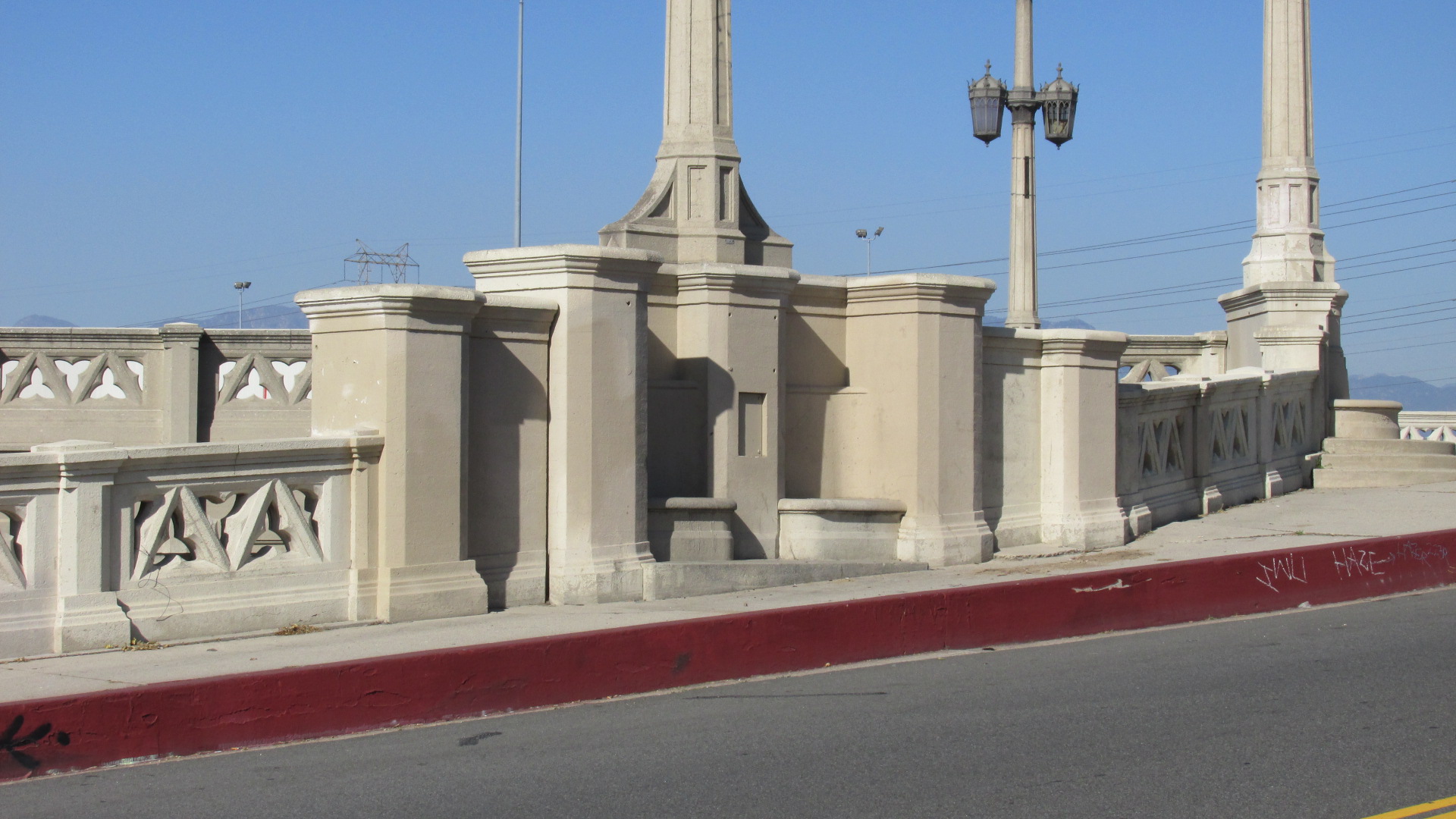
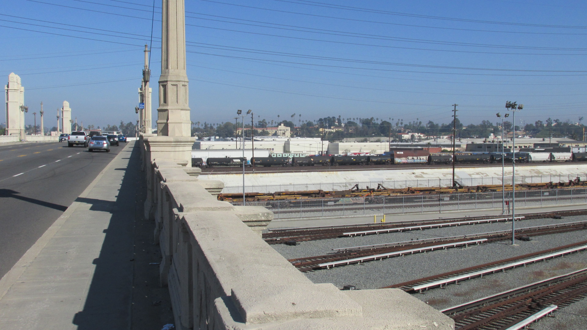
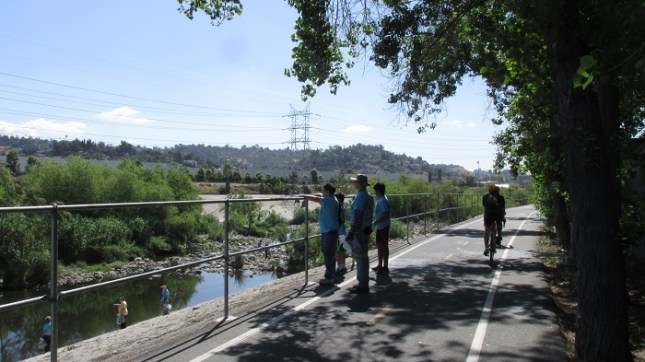
Bridges are about making connections. The original structure was built in 1932, and was one of a series of bridges that spans the LA River. This ambitious infrastructure project started in the 20s and continued through the 30s, eventually allowing numerous crossings between Downtown and East LA. Here are a few photos of the old Sixth Street Bridge.

B6 1310 05 Base

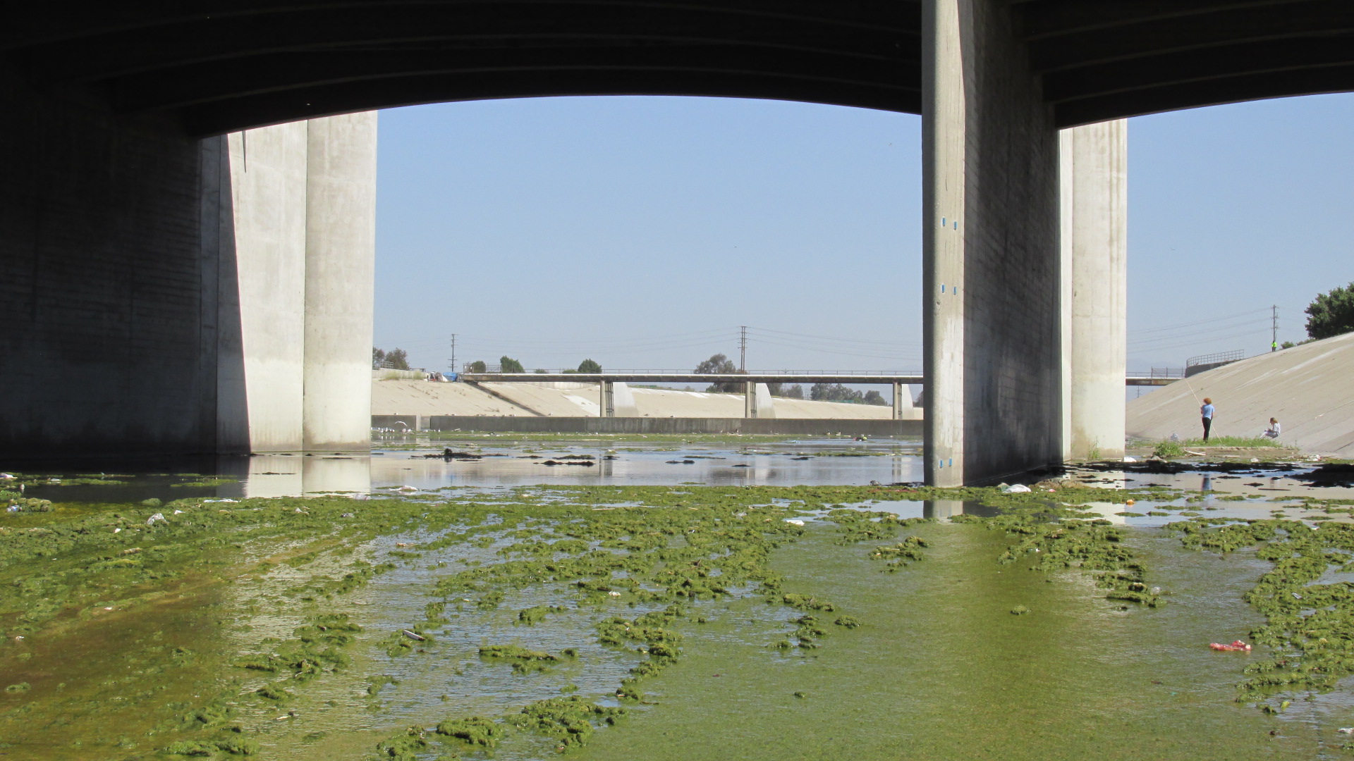
A shot from the base of the bridge.

B6 1310 10 Truck

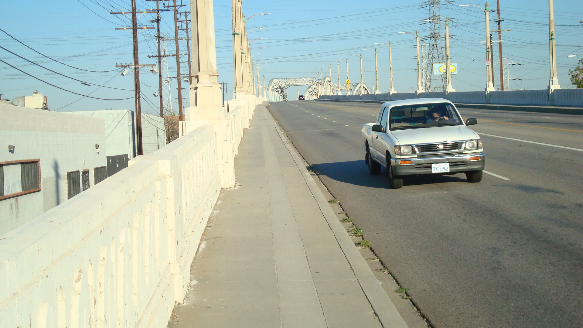
A truck coming down the west side.

B6 1310 15 View Dntn 1

A view of the bridge facing west.

B6 1310 17 View Side Dntn

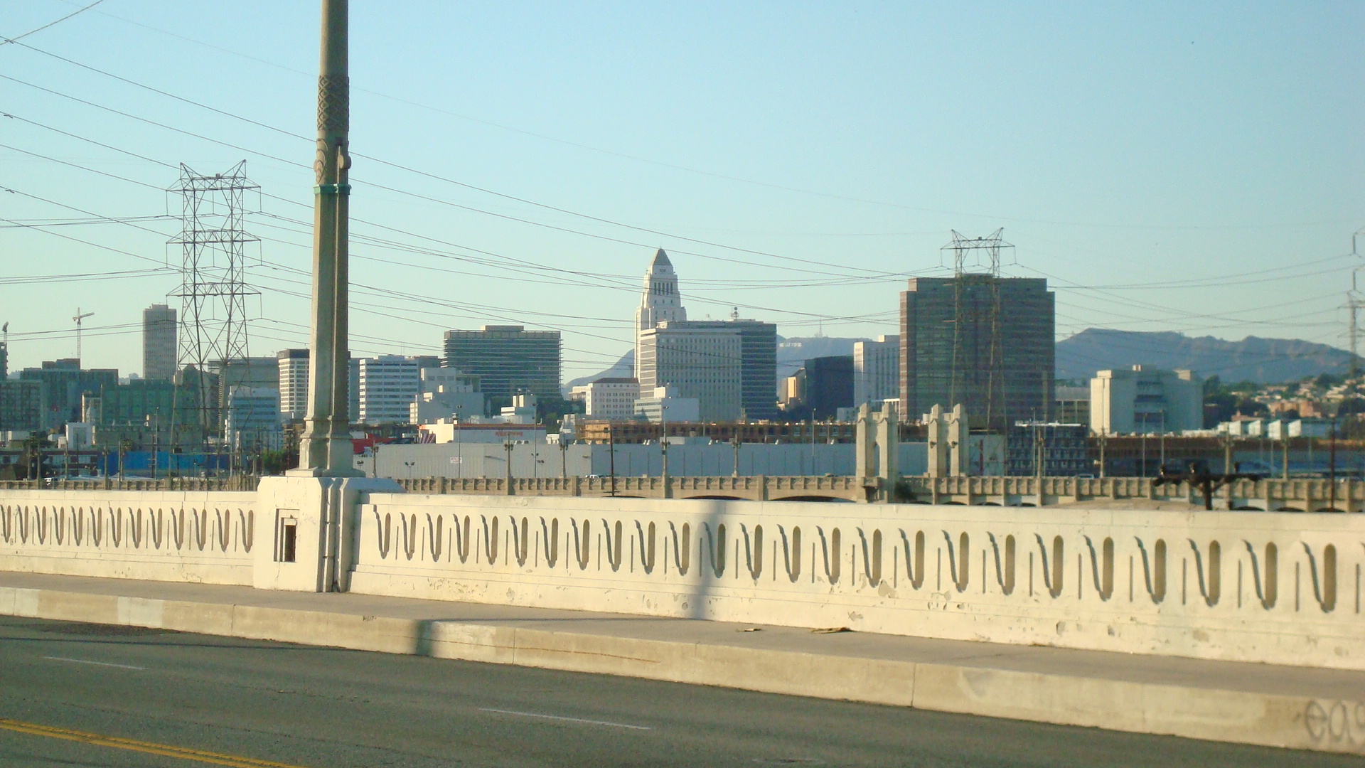
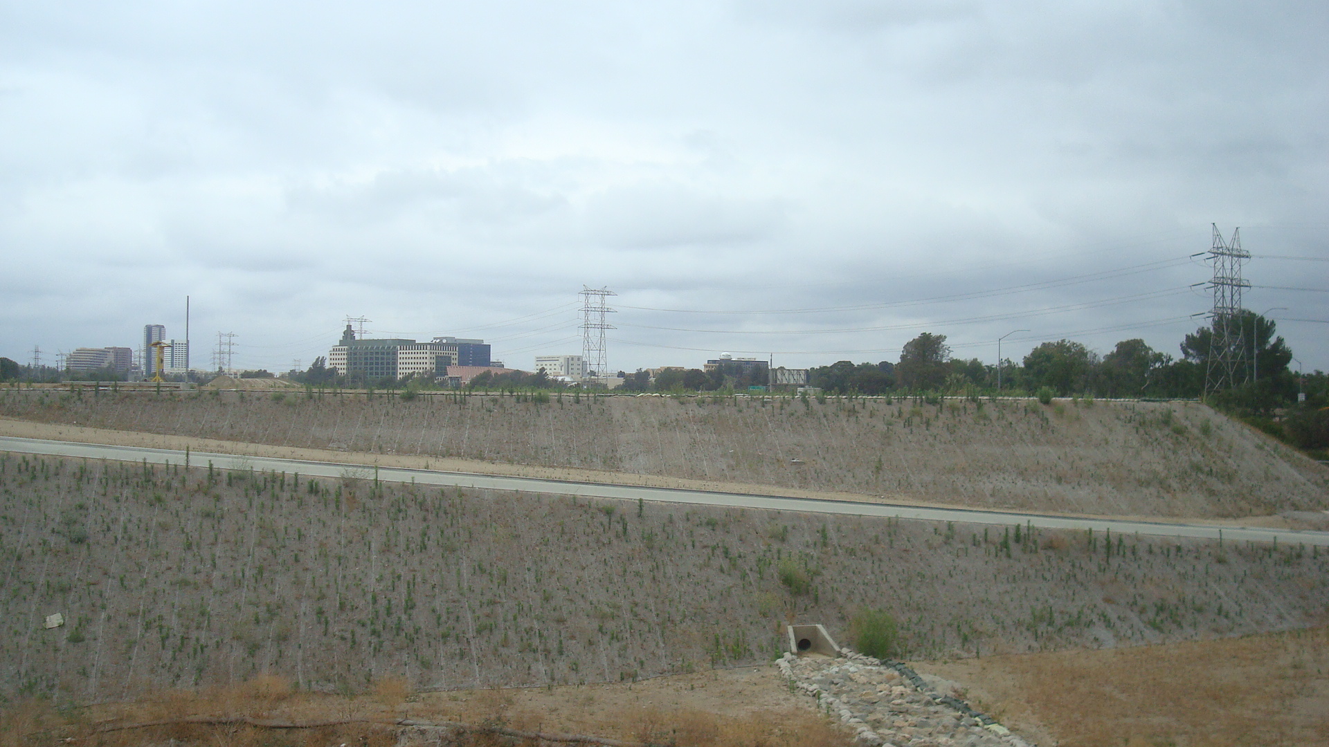
Downtown in the distance.

B6 1310 18 View Dntn Trains

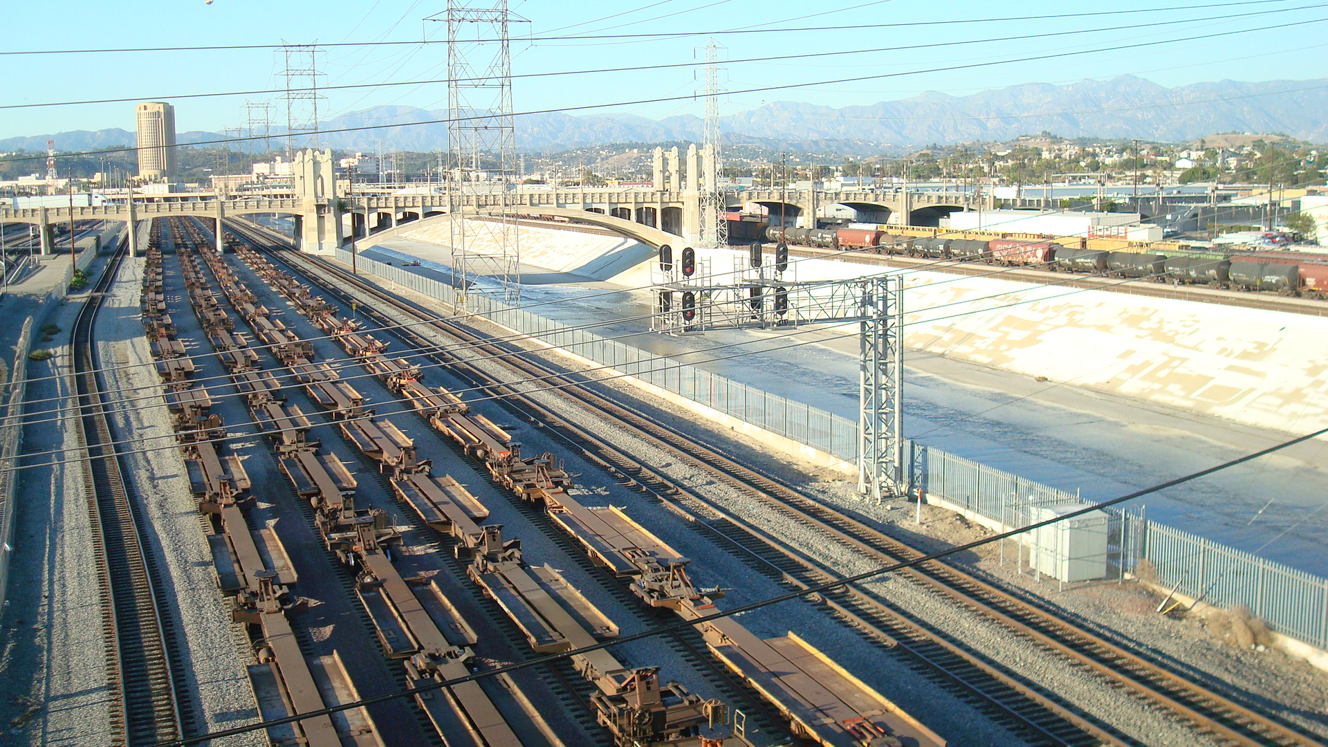
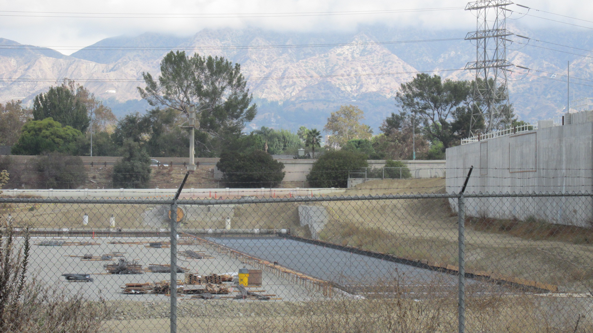
A view of the San Gabriel Mountains from the old bridge.

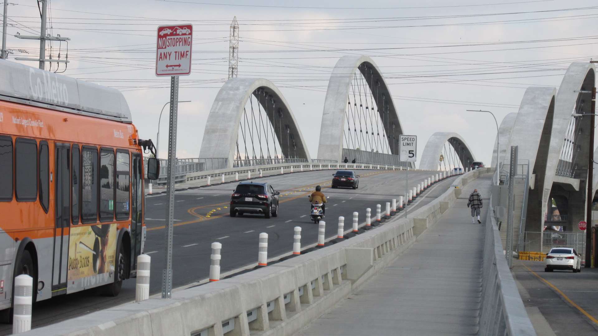
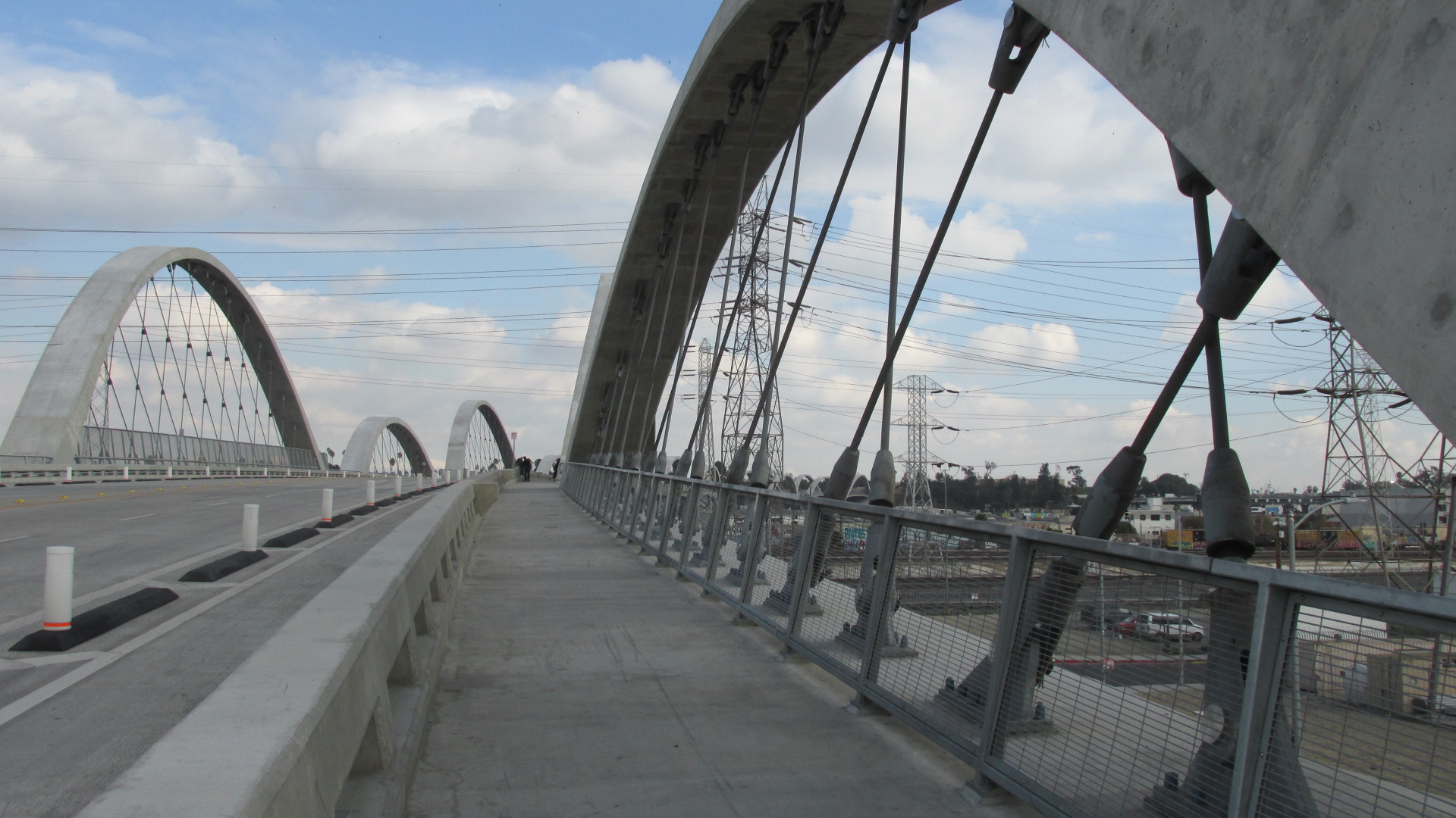
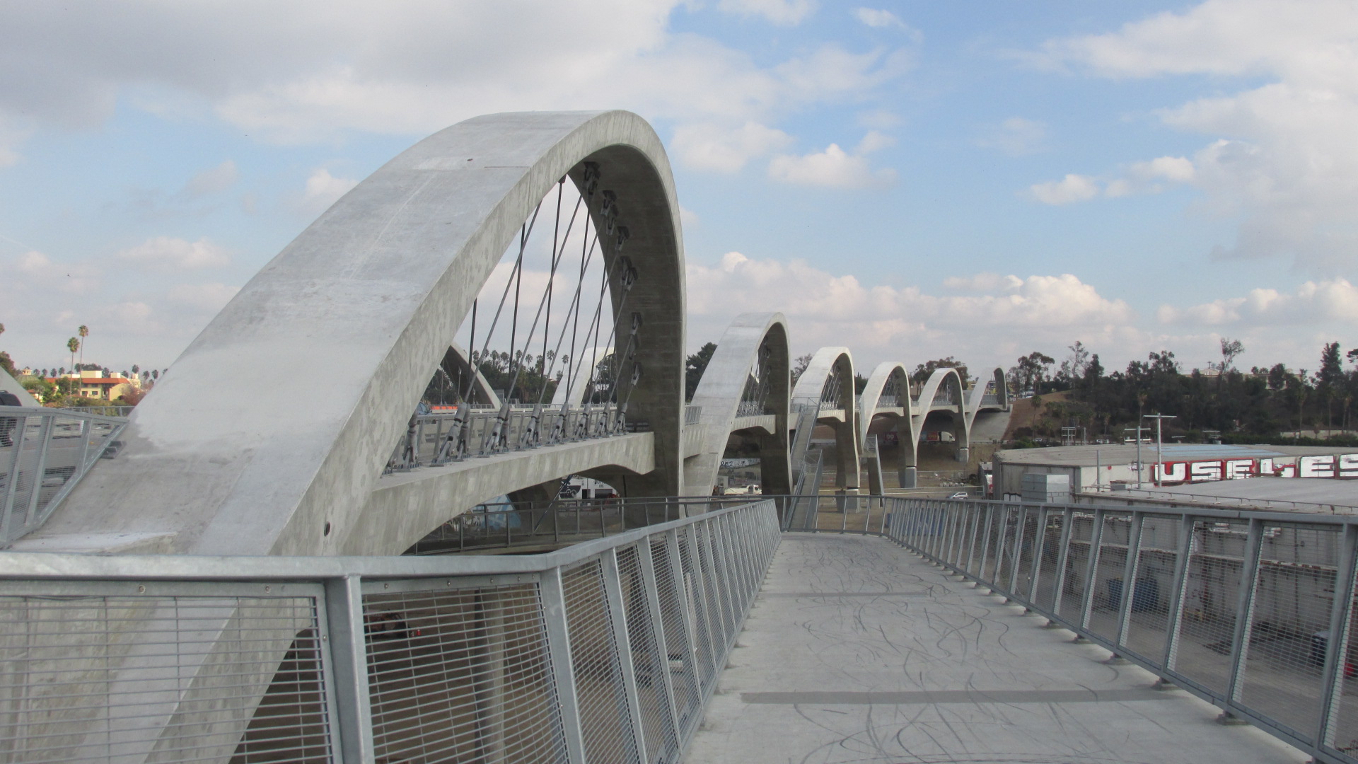
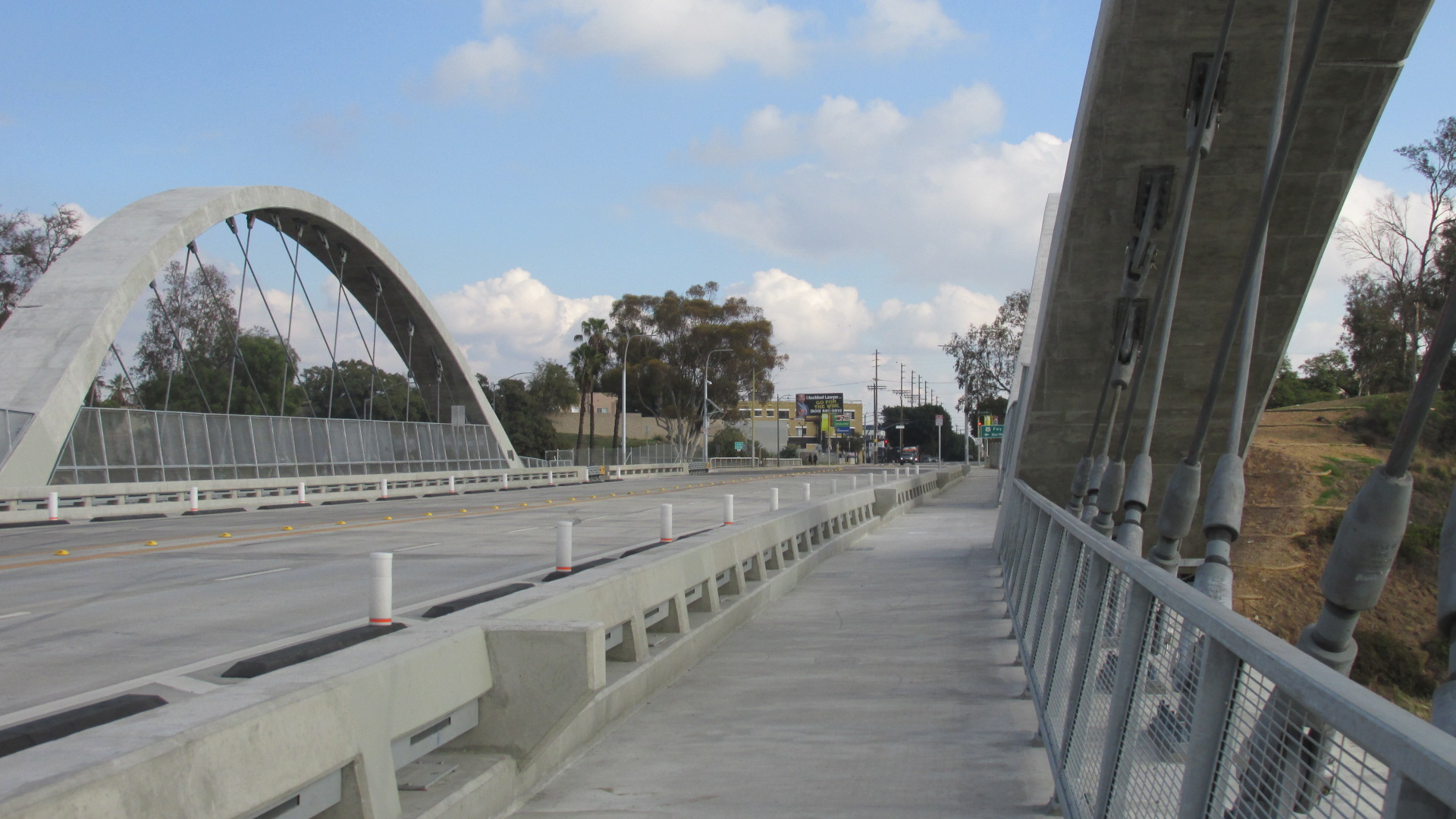
The renderings of the new bridge are striking. It was designed by architect Michael Maltzan, but the project is a team effort, and the goal is to produce something much more than a bridge. Here’s a quote from Maltzan’s web site.

The design team including Michael Maltzan Architecture (Design Architect), HNTB (Engineer and Executive Architect), Hargreaves Associates (Landscape Architect), and AC Martin (Urban Planning) began with the fundamental understanding that the Viaduct is more than a simple replacement thoroughfare crossing the Los Angeles River. The project instead foresees a multimodal future for the City, one that accommodates cars, incorporates significant new bicycle connections. It also increases connectivity for pedestrians to access the Viaduct, not only at its endpoints, but along the entirety of the span, linking the bridge, the Los Angeles River, and future urban landscapes in a more meaningful relationship.

The project also includes a park and an arts center. You can see some images here.

Sixth Street Viaduct/PARC from LA Bureau of Engineering

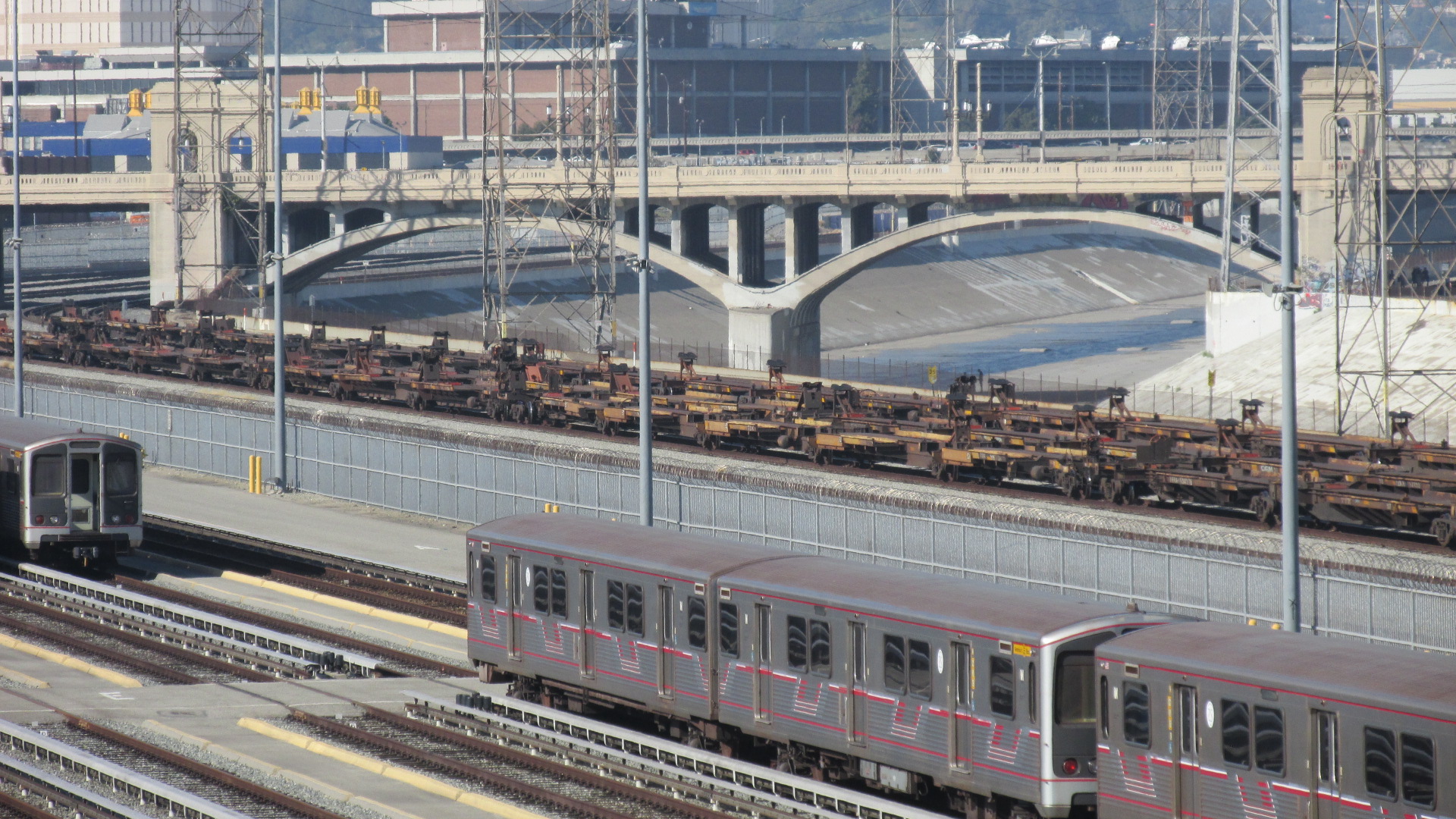
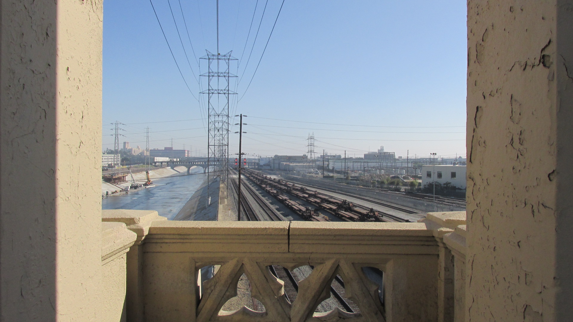
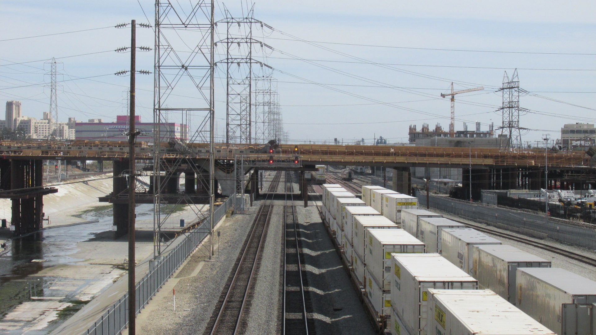
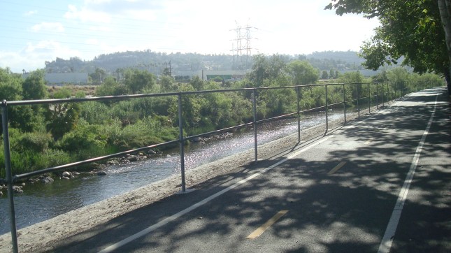
Here are some shots of the project site from March 2017, when work on the new bridge was just beginning.

B6 1703 05 Road Closed

For the time being, this is where Sixth St. ends.

B6 1703 12 Orange Crane

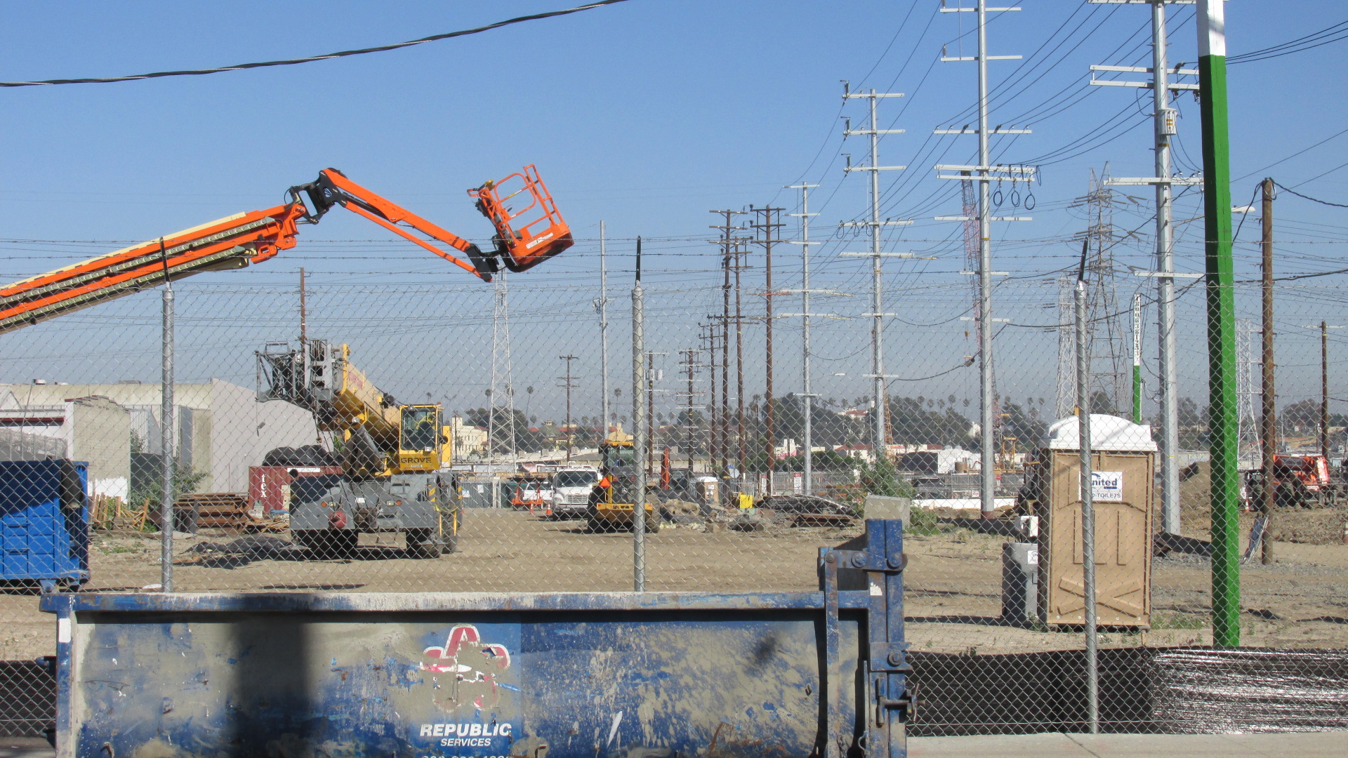
Lots of machinery on the project site.

B6 1703 15 Fence Machinery

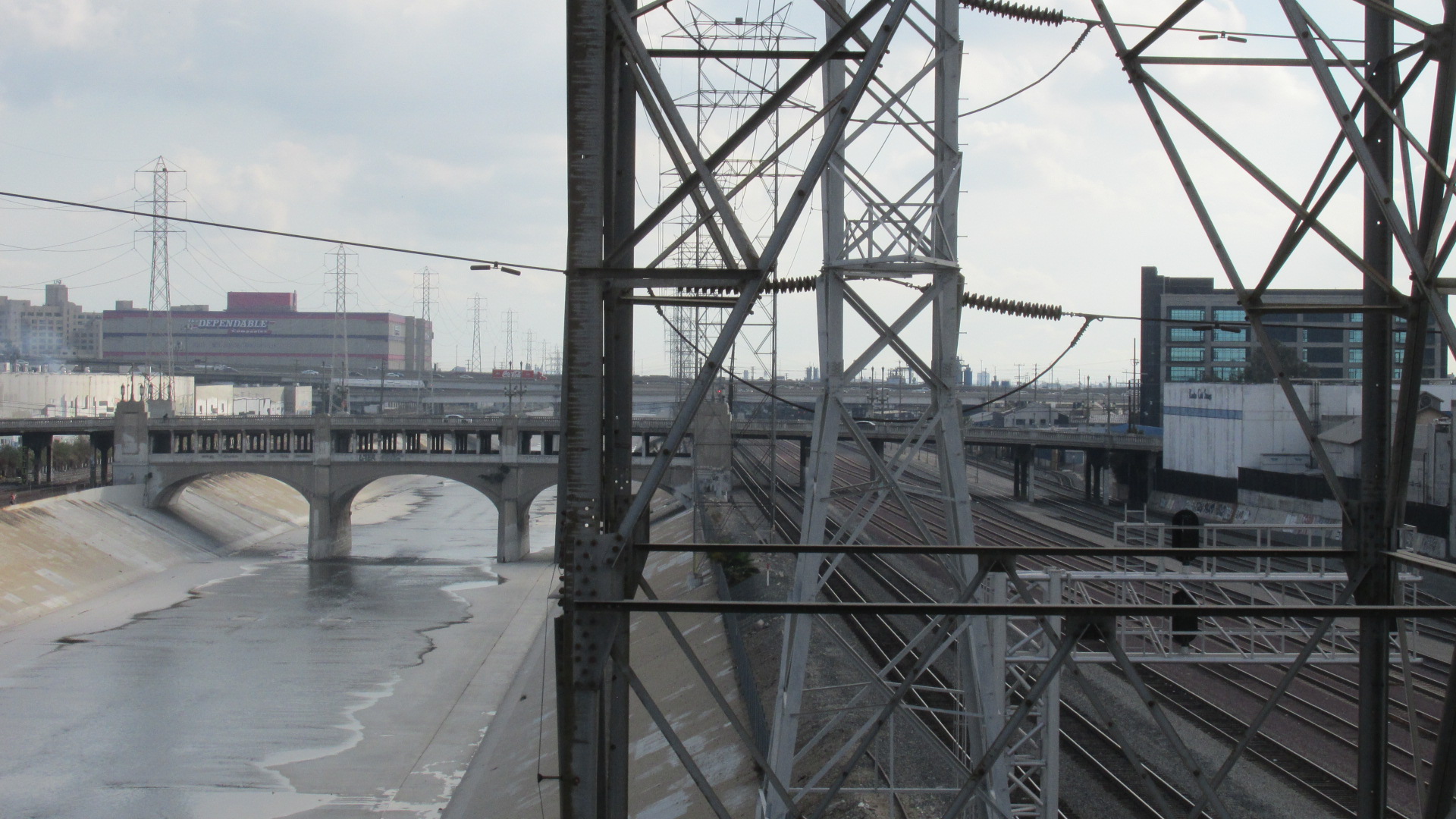
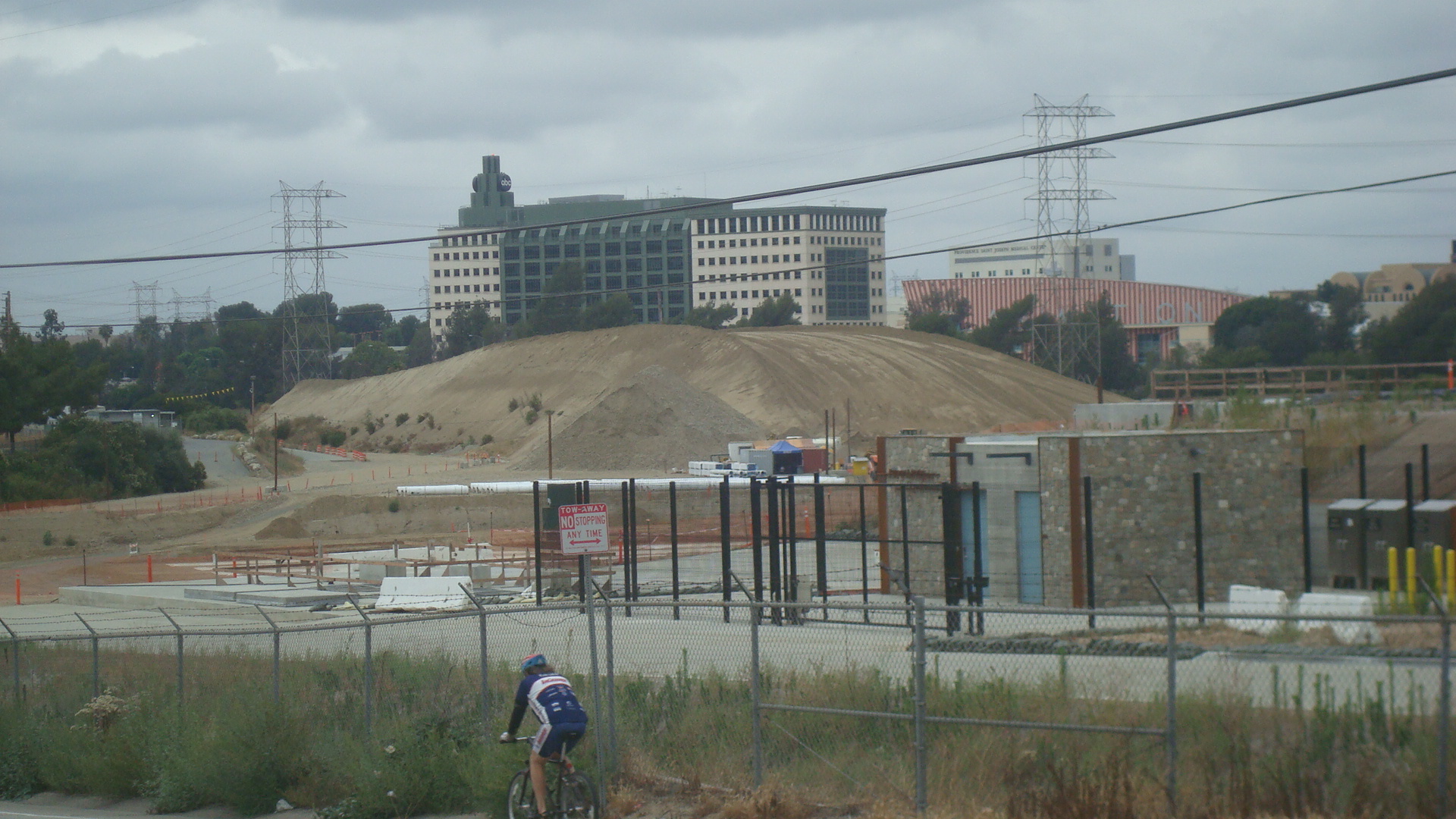
Looking across the river toward East LA.

B6 1703 25 Riv Wide Straight

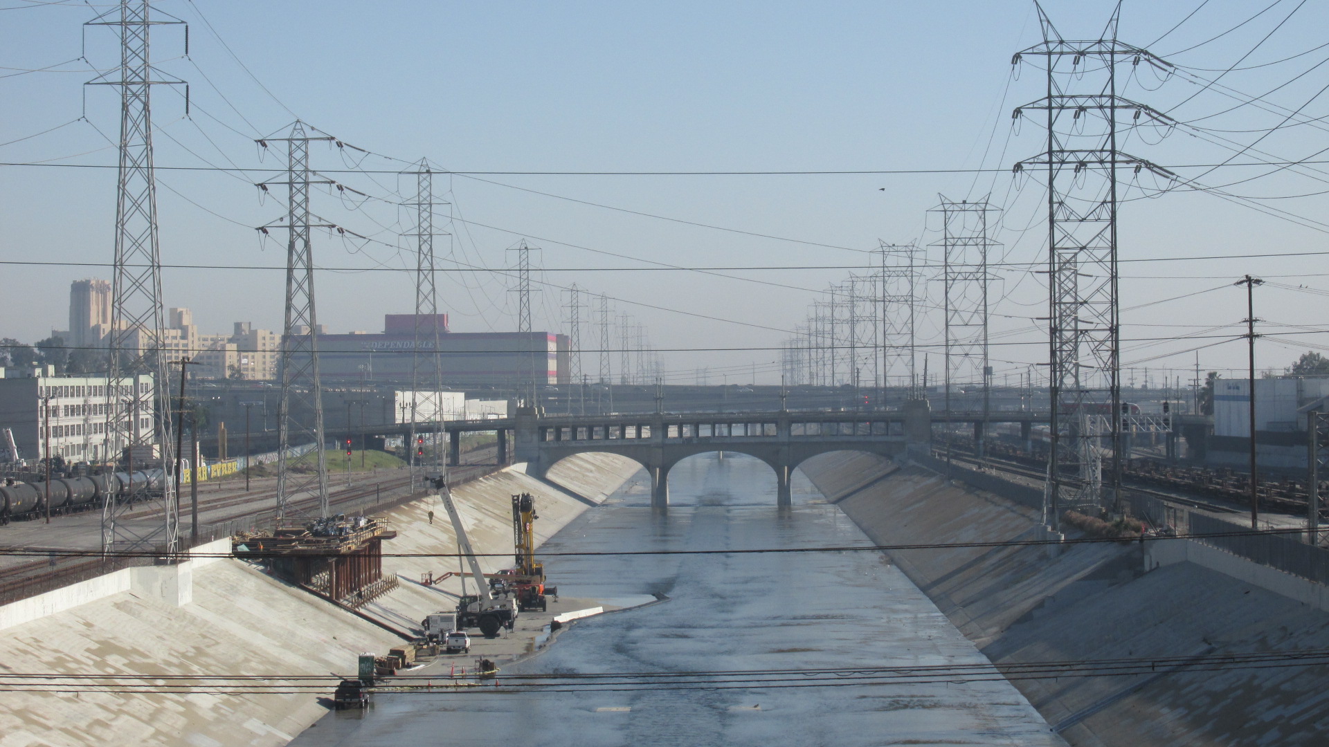
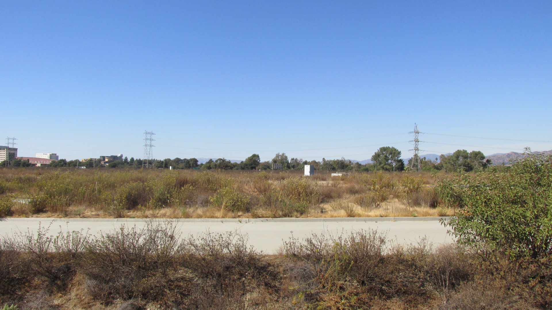
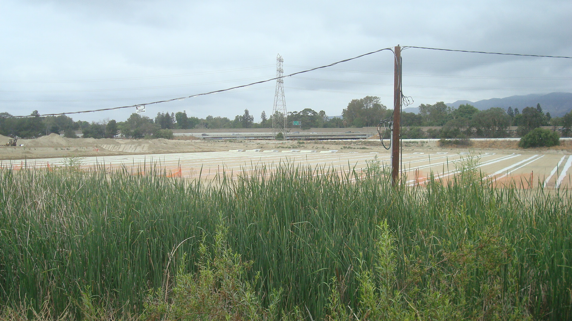
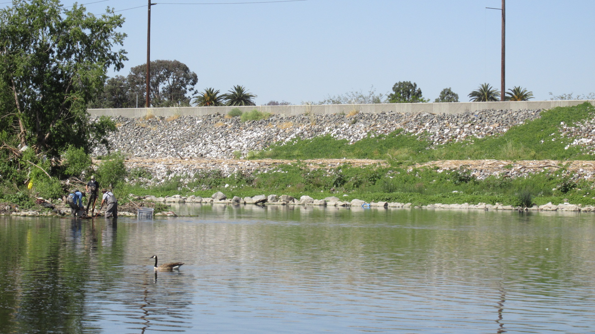
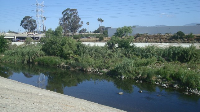
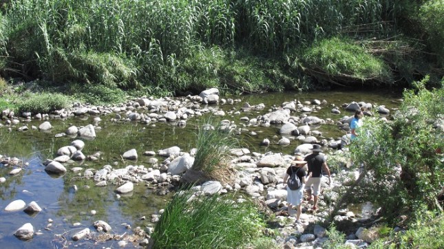
A shot of the riverbed when construction was just starting.

B6 1703 27 Riv Tower Mach

Another angle.

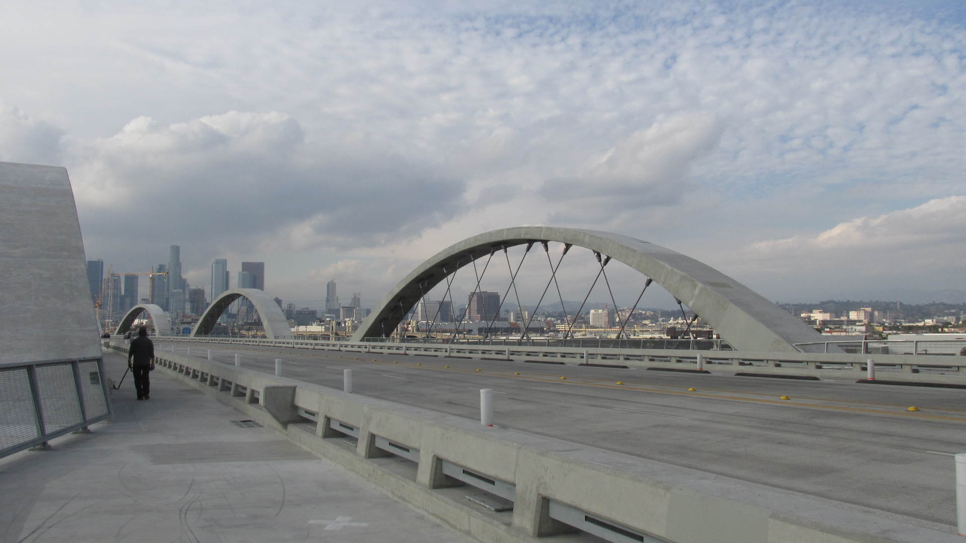
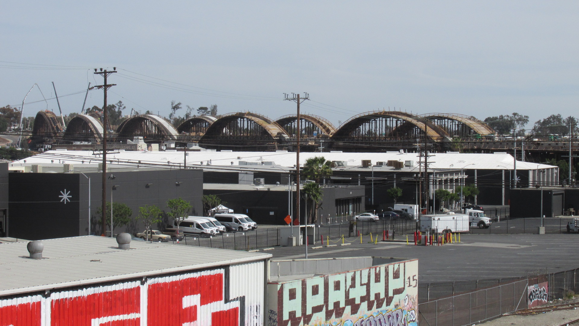
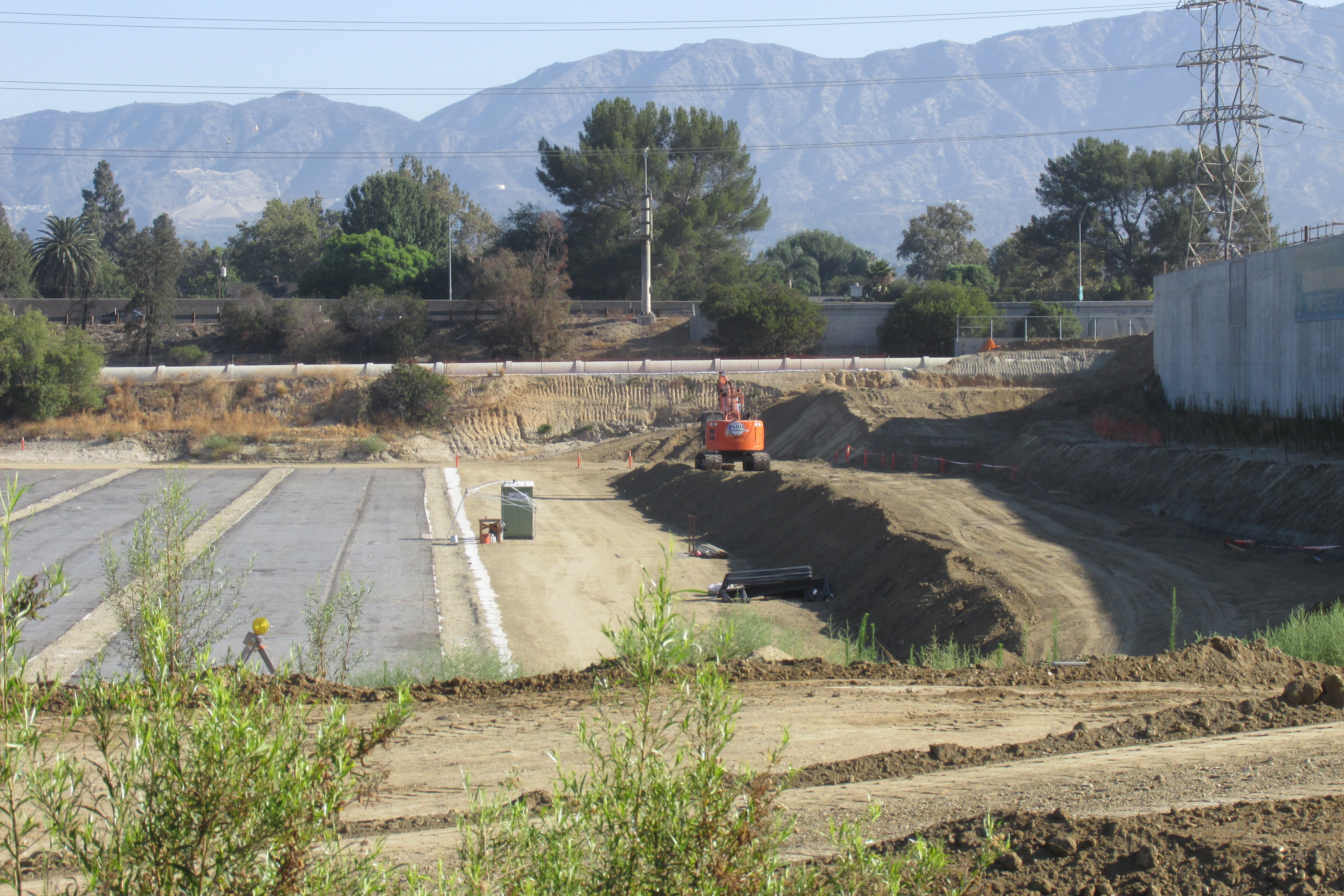
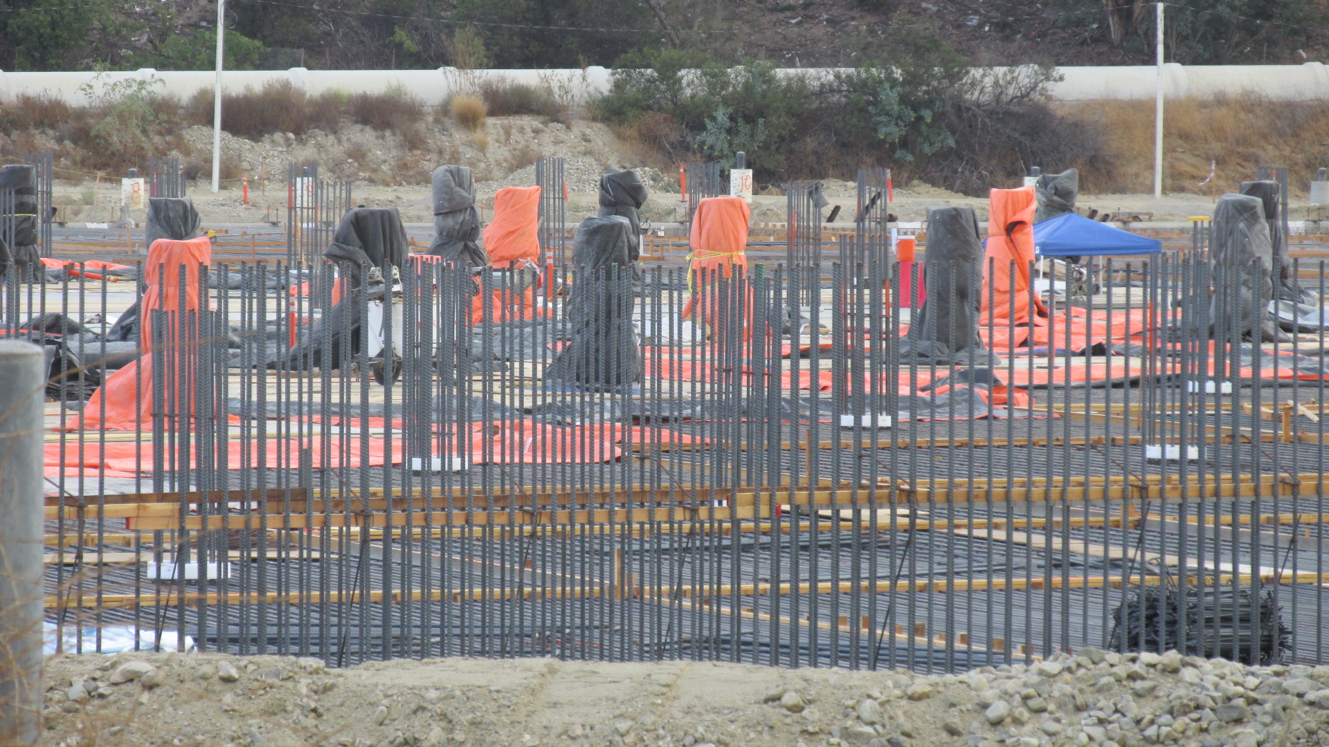
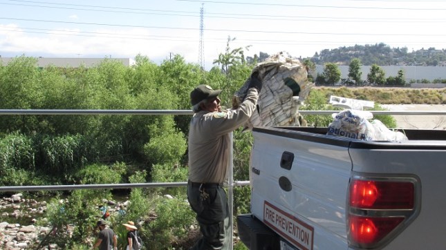
And here are some shots from August 2017.

B6 1708 05 Wide

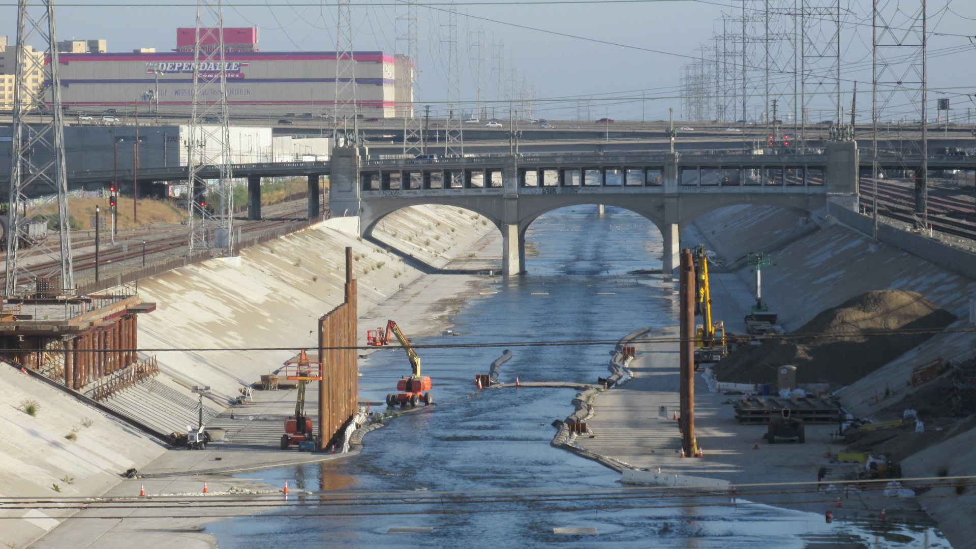
A little more progress has been made.

B6 1708 10 C w Crane 2

A closer view.

For the team involved with the design, this project is all about bringing things together, creating connections and offering new ways for people to experience this space. One of the chief goals is to link the Arts District with Boyle Heights and the LA River. That sounds pretty cool in the abstract, but in actual fact there are a lot of reasons to worry about the downside. I’m sure Maltzan and his team see this project as a positive thing, but that’s not surprising. They’re architects and engineers engaged in creating a spectacular new piece of infrastructure. And of course the City’s website  is all about the upside.  But really, the City’s glib promo materials don’t begin to describe what’s happening here. By itself, the new bridge may sound great, but if you look at it in the larger context of the area’s culture and economy, you start to realize that this project could have serious negative impacts.

Any large scale infrastructure project, any attempt to remake the landscape, is going to affect the surrounding communities. These impacts can be good or bad, and often it’s a mix of the two. In this case, the biggest issue is one that never gets mentioned on the City’s web site. It’s the same issue that communities all over LA are dealing with. Displacement. Downtown LA has been going through a massive construction boom, with high-end housing and high-end retail largely transforming that community into an upscale enclave. Now developers are eyeing neighborhoods on the other side of the river.

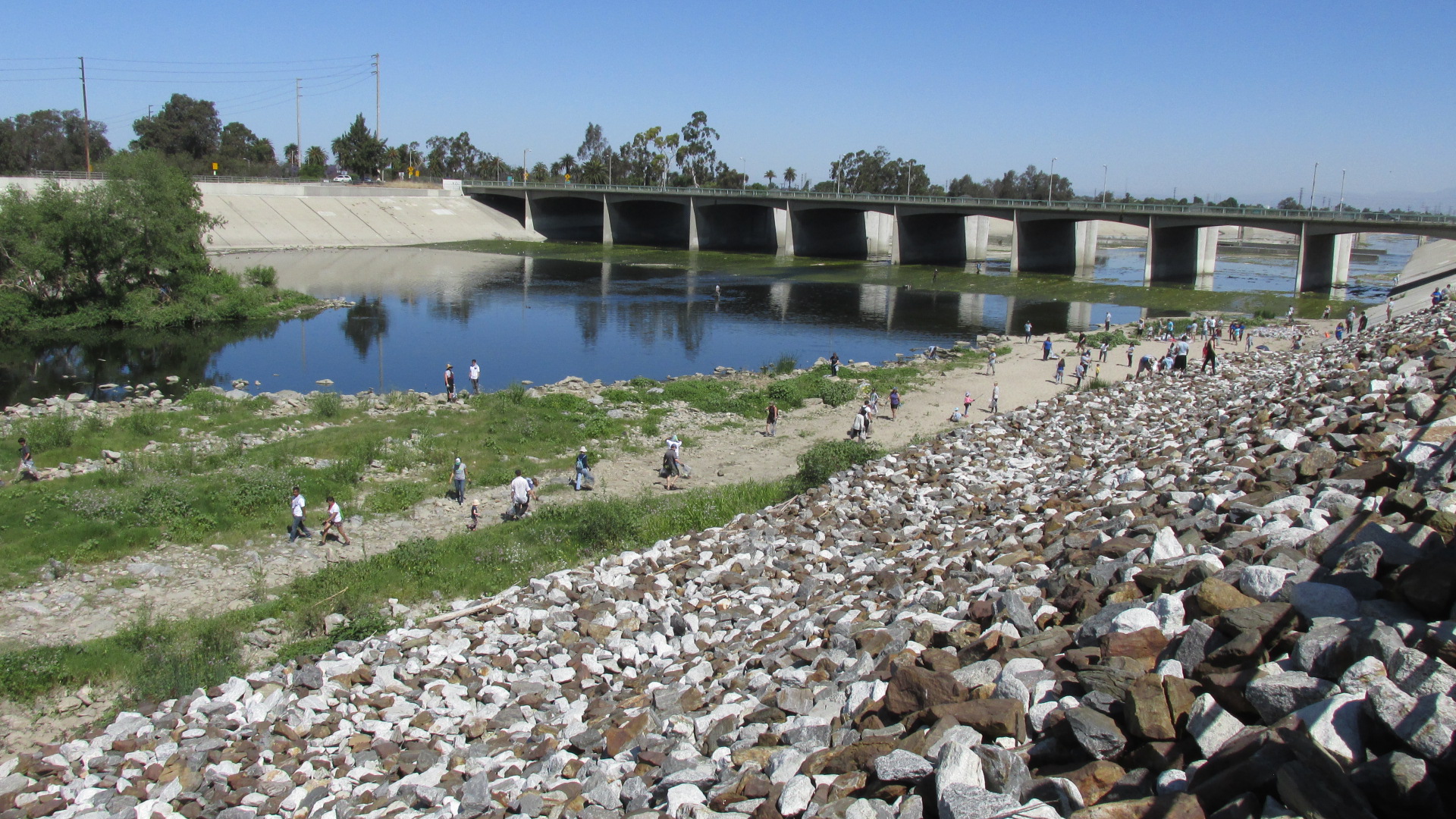
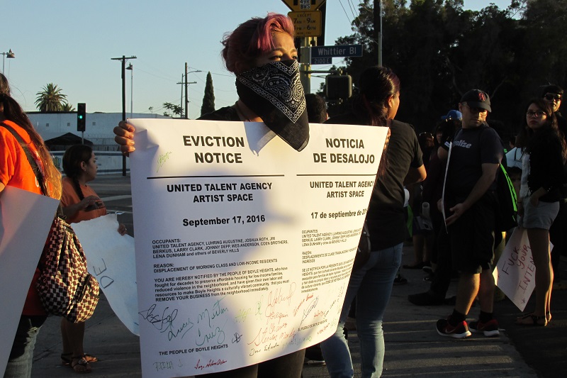
The residents of Boyle Heights are already feeling the effects of gentrification, as real estate investors looking for cheap land and big profits have been buying up parcels in the area. Evictions are already happening, and many people who live in this largely Latino community are afraid they’ll be next. You may have read about the protests that have taken place in recent years. Here are some shots from an action staged by East LA residents in September 2016.  Protesters met at the intersection of Whittier and Boyle, where the old bridge touched down on the East Side.

ELA 10 No Se Vende

“Boyle Heights Is Not for Sale.”

ELA 15 Group 2

Families are worried about losing their homes.

ELA 20 G Is V

Many people on this side of the river see gentrification as violence.

ELA 80 Bandana

New art galleries are seen as harbingers of displacement.

The protest movement in Boyle Heights has gotten a fair amount of media attention, partly because in some cases the protesters have used aggressive tactics in trying to shut down a new coffee house and some local galleries. They see these businesses as the first outposts of coming gentrification. There are people who have questioned the protesters’ methods, complaining that they’ve gone too far. But let me ask you this. If you were in danger of losing your home and being driven out of your neighborhood, how far do you think you’d be willing to go?

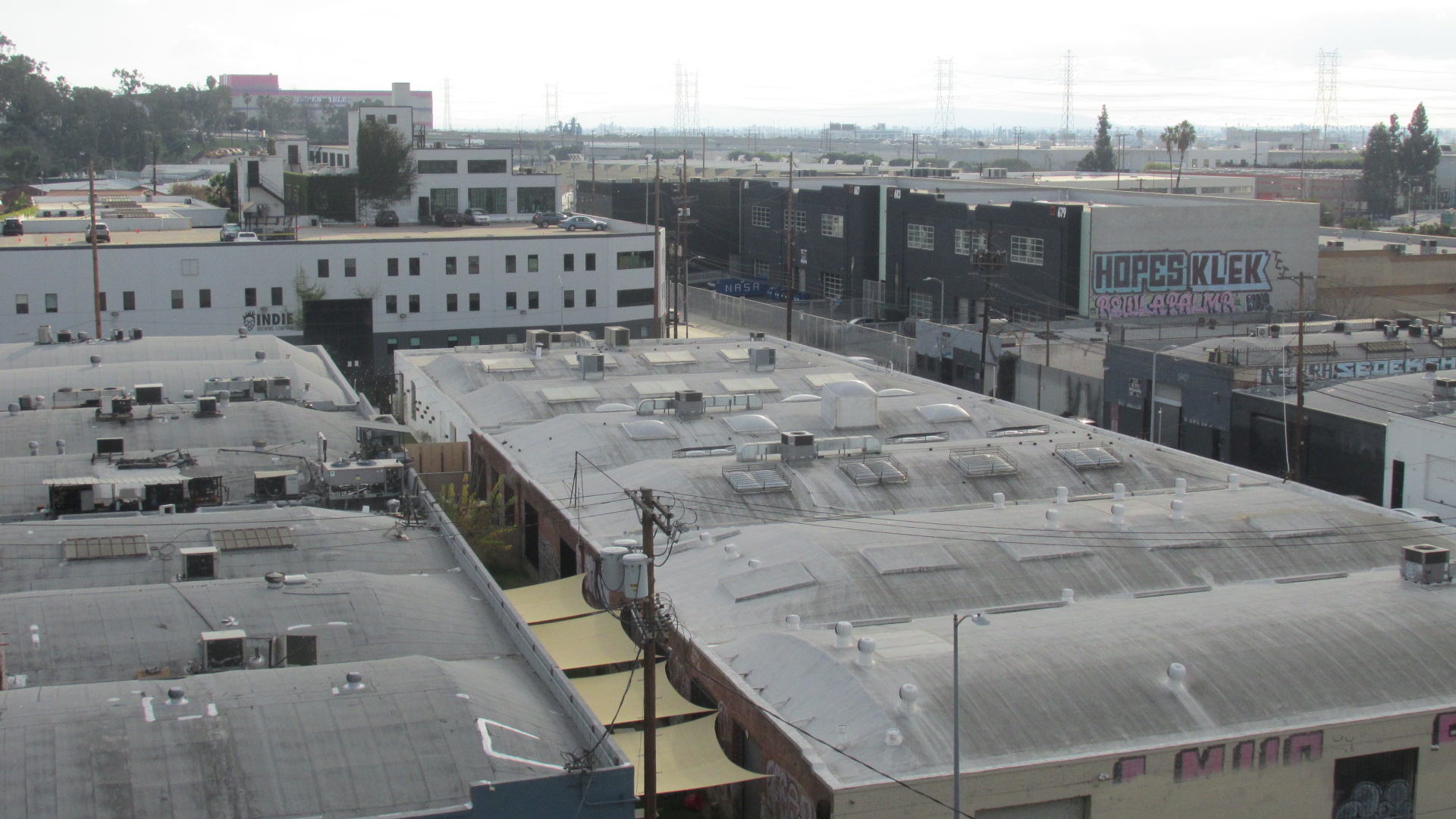
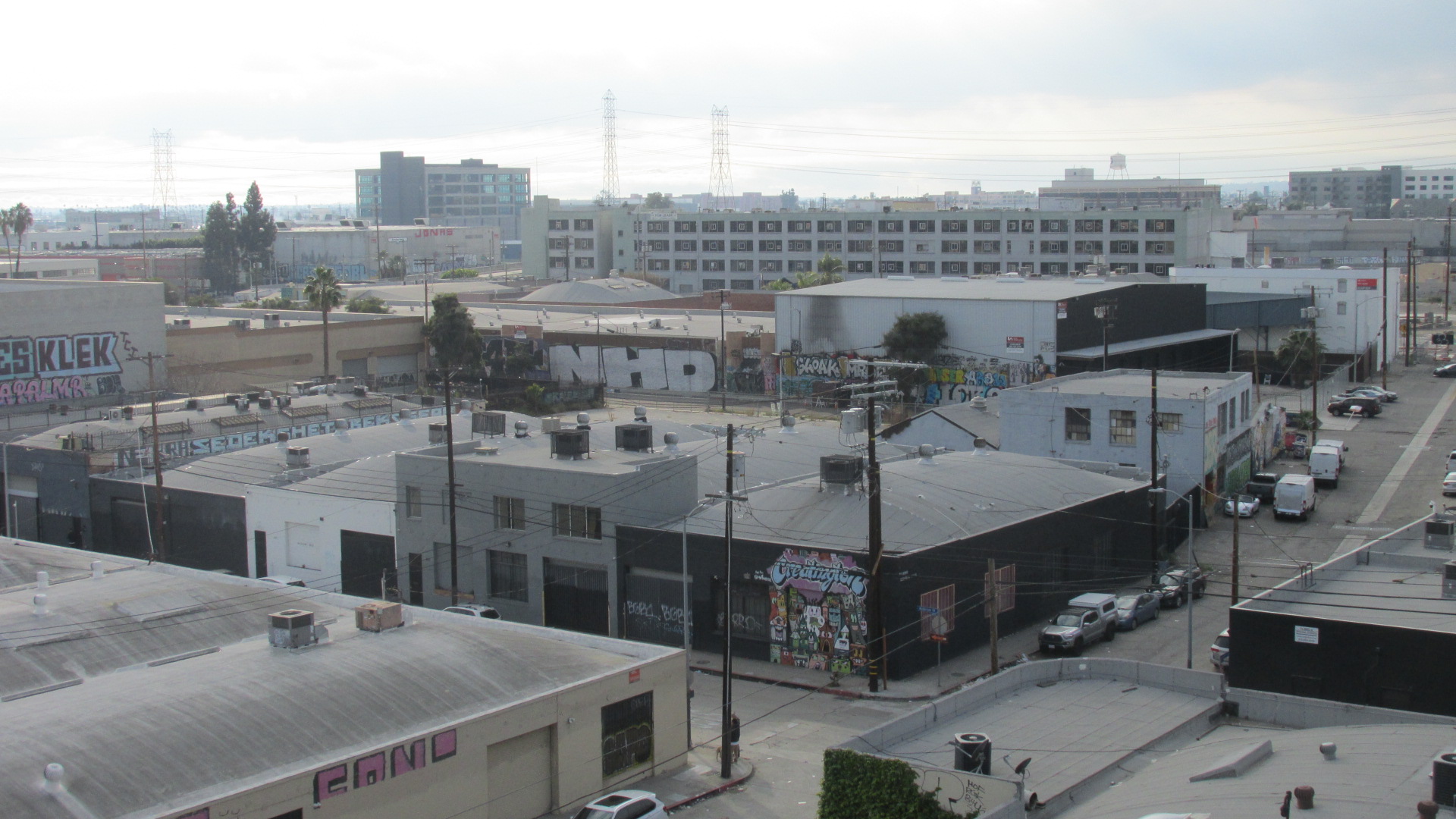
It’s no accident that communities like Boyle Heights have been targeted by real estate investors. Land is cheaper there than in Downtown, and they know that the completion of the bridge and the accompanying amenities will make the area more desirable to upscale residents. We’ve already seen something similar happen in the Arts District. A largely low-income community has been rapidly transformed by a massive influx of developer dollars, and the people who had lived there for years, in fact, the people who actually built the community, have been driven out.  A similar scenario has been unfolding in Hollywood, and with the construction of the Crenshaw/LAX line you can see the same thing happening in communities like Leimert Park.

Investment in a community can be a good thing, but not when it drives out the people who have spent their lives there. And these days it’s not a gradual evolution. City Hall works with developers to target areas for rapid growth, almost all of it geared toward affluent new residents. When the City or County lays plans for new infrastructure, like light rail or parks or, in this case, a bridge, real estate investors move in quickly.  Often these investors are well connected at City Hall and already have possible projects in mind.  In other cases they’re speculators just snapping up parcels that they know will rise in value. They don’t plan to build anything, since they know they can make a profit just by sitting on the property until new infrastructure is in place.  And Mayor Garcetti gleefully promotes the aggressive transformation of these communities, apparently without giving a thought to the real suffering that displacement is causing for thousands of Angelenos. It seems he feels he was elected just to serve the affluent.

These days I hear so much talk about making LA a “world class city”, and I’m really sick of it. Garcetti’s idea of creating a “world class city” is about pouring billions into new infrastructure so that developers can cash in by building upscale enclaves for the affluent. Personally, I don’t care what class LA is in. If we can’t help hardworking people stay in their homes, if we can’t support communities that people have invested their lives in building, then this city is a failure.

You can spend all the money you want on bridges and parks and rivers and rail lines. All that stuff is meaningless if at the same time we’re dismantling our communities, the human infrastructure that really holds this city together.

ELA 97 Skyline 1

Headworks Update

HW 01 1711 Site

Anybody who’s used Forest Lawn Dr. over the past few years has seen the massive construction site running along the LA River. This is the Headworks project, which involves building two giant underground reservoirs to replace the DWP’s Silverlake complex. I posted about it back in 2014, when phase one, Headworks East, was under construction, and it was completed in June 2015. At that time it was reported that the second phase would be finished in 2017. That didn’t happen. Though the City held a groundbreaking ceremony for Headworks West in 2016, progress since that time has been slow. Apparently this is because of unusual soil conditions at the site, which required extensive remediation.

When completed these two huge concrete tanks will hold a combined total of 110 million gallons. The plan is to cover them with soil and native vegetation, creating a park and wetlands with areas for hiking, cycling, and riding horses.. The project also involves the construction of a hydroelectric power plant.

Now and again I ride my bike along Forest Lawn Dr., and I’ve taken some photos of the site over the past couple years. Here’s a shot from June 2016 that was taken from the edge of the site near the entrance to Griffith Park.

HW 10 1606 Side Road

You may be wondering why I’m bothering to post a picture of a low hill covered with weeds. Now let me show you a photo taken from roughly the same perspective during the first phase of construction.

HW 15 Concrete Corner

The tank that was completed in 2015 lies beneath the soil you see in the first photo. Eventually a park will cover the entire site. Here’s another shot of from a different angle that shows the road which goes around the perimeter of the tank.

HW 22 1606 Mtn Cloud

Moving on to the site for the second phase of the project, Headworks West. You can see a huge mound has been formed by displaced soil.

HW 24 1606 Mound

Here’s a shot of the site as preliminary work was being done.

HW 26 1606 Rows 1

The following images show the site a couple months later, in August 2016.

HW 30 1608 Rows w Fwy

In this photo you can see the exposed side of the first reservoir.

HW 32 1608 Rows Tank 1

And here are some images from November 2017, when the structure was actually starting to take shape. In the first one you see the side of the completed reservoir again.

HW 40 1711 Dark Bed Tank 1

Here it looks like they’re laying out frames.

HW 42 1711 Frames Crane

I’m assuming the wall at the left marks the perimeter of the new reservoir.

HW 44 1711 Wall Frames

The rebar starts to define the shape of the reservoir.

HW 46 7111 Frame

The date for the completion of Headworks West is a little murky. One fact sheet published by the DWP says it’ll be done in 2018. But another, more detailed, fact sheet from the DWP says they’ll wrap it up in 2022. It also says they’ll finish the power plant in 2023, and the ecosystem restoration in 2024. So it could be some time before you’re able to ride your bike through the park.

A few links. The first is a video about the project from the DWP.

Headworks Video from DWP

The second link gives some background, and offers a detailed timeline.

Headworks Background, Fact Sheet and Timeline

And this last link shows a map of the completed project.

Map Completed Project

HW 90 1711 Site


LA River Clean-Up: Willow Street Estuary

LAR WCU 00 Grass Water 1

Yesterday I went down to Long Beach to take part in the annual LA River Clean-Up, organized by Friends of the Los Angeles River (FOLAR). The Willow Street Estuary isn’t far from where the river flows into the ocean, and it’s one of the few stretches where the bottom is earth instead of concrete.

LAR WCU 10 Sign

It wasn’t hard to find the clean-up.

LAR WCU 12 Cones

Dozens of people beat me down there.

LAR WCU 14 Registration

The people working the registration table were keeping busy.

LAR WCU 16 Bags

Everybody got a pair of gloves and a bag.

There were already plenty of people there when I showed up a little after nine. It took just a few minutes to sign the waiver, grab a trash bag and do the orientation. Then I joined the crowd of people climbing down the bank to the river.

LAR WCU 18 Rocks Down

Heading down the bank to the river.

LAR WCU 20 Trees 1

Hundreds of people combing the river bed for trash.

LAR WCU 22 Two Kids

Lots of families showed up.

LAR WCU 24 Kids

Kids were some of the hardest workers.

LAR WCU 29 Face

It wasn’t all trash.  I found this face staring at me from among the rocks.

LAR WCU 27 Duck

A few guys waded all the way across the river.

LAR WCU 30 Trash

This is just some of the trash that was collected.

LAR WCU 28 Wide Stoop

The work wasn’t hard, and it was a great day to be outdoors.

If you don’t know what an estuary is, don’t feel bad. I didn’t either until I looked it up on the net. Generally speaking it’s where a river nears the ocean, and fresh water meets salt water. They’re an important part of the ecosystem, filtering runoff and serving as a breeding ground for fish and birds. Watch this video from the National Oceanic and Atmospheric Administration to learn more.

What Is an Estuary?

LAR WCU 40 River Bridge CU

The water is placid as it emerges from under the Willow Street Bridge.

LAR WCU 40 River Rapid

The surface gets a little roiled where the river narrows.

LAR WCU 65 River Long

From the estuary, the river rolls down to meet the ocean.

Aside from organizing the LA River Clean-Up, FOLAR presents events throughout the year. They’ve been working to preserve and restore the river longer than anyone else, and they’ve racked up an impressive list of accomplishments in their 30 year history. If you want to get involved, start by visiting their web site.

FOLAR

LAR WCU 70 Green Bridge

Keeping the River Clean

LAR 05 Riv Trees Fwy a

Yesterday I got up earlier than I usually do on a Saturday. It took some effort, but by nine o’ clock I’d made it to Marsh Park so I could take part in the annual LA River clean-up event organized by Friends of the Los Angeles River (FoLAR).

This stretch of the river is bordered by a mix of older stucco homes and industrial buildings. Marsh Park seems to wind its way through the neighborhood, I’m assuming because it was planned to take advantage of unused open space. It’s nicely landscaped, and has a cool play area for kids.

The entrance to Marsh Park.

The entrance to Marsh Park.

A grassy expanse in the park.

A grassy expanse in the park.

There's a cool play area for kids.

There’s a cool play area for kids.

These yellow flowers caught my eye.

These yellow flowers caught my eye.

The gate that leads to the river.

The gate that leads to the river.

A shot of the river with the freeway in the background.

A shot of the river with the freeway in the background.

You'll find a mix of residential and industrial on the streets adjacent to the river.

You’ll find a mix of residential and industrial on the streets adjacent to the river.

An artist's effort to beautify a wall.

An artist’s effort to beautify a wall.

Dozens of people had made it there ahead of me. I got a pair of gloves and a trash bag, and after a brief orientation they set us loose on the river. The guy who gave us the ground rules said that twenty seven years ago, when FoLAR started doing these annual clean-ups, they came across all kinds of things in the river bed. In the early days they’d be hauling out mattresses, shopping carts, and even cars. These days, he went on to say, it was mostly a matter of picking up plastic bags.

A quick orientation before we got started.

A quick orientation before we got started.

Heading out to tackle the trash.

Heading out to tackle the trash.

Exploring the river bed.

Exploring the river bed.

Looking high and low for trash.

Looking high and low for trash.

When the bags were full, we left them along the bike path.

When the bags were full, we left them along the bike path.

And this guy threw them in the back of a truck.

And this guy threw them in the back of a truck.

FoLAR has been taking care of this long-neglected natural treasure for thirty years. Unlike the Los Angeles River Revitalization Corporation, a latecomer with a pro-development agenda, FoLAR’s members have been trying for decades to realize the river’s tremendous potential as a public resource. Back when most of us were making jokes about this massive concrete channel that wound its way through the landscape, Lewis MacAdams and his cohorts saw what the river had once been and could be again. They’ve been working diligently since the eighties to protect and restore the LA River, and to educate the rest of us about its past and possible future.

Developers have realized that there's money to be made by building along the banks.

Developers have realized that there’s money to be made by building along the banks.

One of the river's current residents.

One of the river’s current residents.

The Griffith Observatory was visible off in the distance.

The Griffith Observatory was visible off in the distance.

Standing under the freeway you could hear the steady din of the cars above.

Standing under the freeway you could hear the steady din of the cars above.

I spent a while collecting trash, and then I wandered off to take pictures. I’d never walked along the river bed before. It was pretty cool. I don’t know about you, but for most of my life I barely noticed the LA River. Encased in concete, bounded by industrial parks and rail lines, running beneath dozens of bridges, it’s as if the river has been buried by the city. We’re only starting to dig it out now. It will be many years before we uncover its real potential.

I’m so glad I made the effort to be there for the clean-up. It was a great day. And it’s just one of many events that FoLAR holds throughout the year. Check out their web site for more info.

FoLAR

LAR 90 Riv Path

Cesar Chavez Avenue Bridge

Looking north from the Cesar Chavez Avenue Bridge.

Looking north from the Cesar Chavez Avenue Bridge.

A while ago I took a walk across the Sixth Street Bridge to get some photos of it before they tear it down. Looking out over the landscape, I saw the other bridges that span the LA River, linking Downtown and East LA. I started thinking it would be cool to take pictures of them as well.

I started walking on the Downtown side of the bridge.

I started walking on the Downtown side of the bridge.

It’s taken me forever to get started on that project, but recently I took a walk across the Cesar Chavez Bridge. There is something kind of thrilling about seeing the surrounding area from that vantage point. Much of the landscape is hard, grey concrete. Power lines criss-cross the sky. But you can also see the hills in the distance, and on the day I crossed the bridge there were massive clouds billowing all along the horizon.

A view of the First Street Bridge.

A view of the First Street Bridge.

Today the bridge is part of Cesar Chavez Avenue, created back in the nineties to commemorate the courageous labor leader who helped organize California’s farm workers. The segment that includes the bridge was formerly called Macy Street, but it’s also part of the historic Camino Real, the road built by the Spanish to connect their missions back when they governed California. The first bridge built on the site was erected in the nineteenth century, but it was demolished at the beginning of the twentieth. In the twenties, the City of LA began an effort to construct a series of viaducts across the LA River, and this bridge, then called the Macy Street Bridge, was part of that effort.

A huge mound of debris on the north side of the bridge.

A huge mound of debris on the north side of the bridge.

For years I’ve seen this massive mound of debris resting on the north side of the bridge. I have no idea where it came from or if it’s ever going away. If you look closely you can see that plants have started to grow here and there. It’s become part of the landscape, an artificial hill rising up over the river and the rail lines.

A view of the bridge heading toward East LA.

A view of the bridge heading toward East LA.

The bridge is lined with lampposts on either side, and decorated with porticos ornamented in the Spanish Revival style that was popular in the twenties. There are plaques affixed to the porticos explaining that the bridge is dedicated to Father Junipero Serra, the founder of the California missions. Serra’s legacy is controversial, since he was a major player in Spain’s effort to subjugate the native population. The Vatican’s recent decision to canonize him has ignited the debate all over again.

One of the porticoes that decorate the bridge.

One of the porticoes that decorate the bridge.

Another view of the same portico.

Another view of the same portico.

If you want to learn more about the Cesar Chavez Avenue Bridge, below is a link to an article on KCET’s web site that talks about the origins of a number of LA bridges. To see more images and to access info about it’s history, check out the links to the Library of Congress.

A Brief History of Bridges in Los Angeles County from KCET

Cesar Chavez Avenue Viaduct from Library of Congress

Photos of Cesar Chavez Bridge in the Library of Congress

CC 40 Deb Hills 1

Transformations

TW 00 GW Campus

Around the middle of the twentieth century, over a period of decades, the LA County Flood Control District did their damnedest to encase most of the city’s waterways in concrete. Apparently it seemed like a good idea at the time. From our contemporary perspective, it looks like a colossal mistake. But what can we do? We don’t have the means to break up the hundreds of miles of concrete that were poured back in the last century. So we’re doing what we can, getting behind small projects that we hope will eventually have a cumulative impact.

I’ve lived in LA all my life, and it still amazes me how little I know about this city. The Tujunga Wash runs from the San Gabriel Mountains, across the San Fernando Valley and feeds into the LA River around Studio City. Recently I started paying attention to the stretch that runs along Coldwater Canyon between Burbank and Oxnard. What I found was pretty interesting.

Above Oxnard, I found the Tujunga Wash Greenway and Stream Restoration Project. What used to be a drab stretch of land running alongside a drab stretch of concrete has been transformed into a lush green walkway which helps to replenish our groundwater.

TW 02 Green

For a better explanation than I could give, click on this link to a page at the Landscape Architecture Foundation. They also provide before and after pictures to give you a sense of how dramatic the change has been.

Tujunga Wash Greenway

TW 04 Green Bed

Below Oxnard, I found the Great Wall of Los Angeles. This is a massive, amazing public art project which presents a history of Los Angeles starting with the first people who lived in the area and ending in the fifties. The project is the brainchild of Judy Baca, founder of the Social and Public Art Resource Center (SPARC). It was begun in the seventies, with over 400 young people and their families working over five summers to create the mural that currently covers a half mile of concrete inside the Tujunga Wash.

The mural starts with images of the Chumash Indians.

TW 06 GW Chum

It covers the construction of the the massive projects that helped build the city, like the railroads….

TW 07 GW Chin

….and the aqueduct.

TW 09 GW Aque

It illustrates the multiple waves of migration the populated the area.

TW 09a GW Dust Big

There are images of the traumatic upheavals that shaped LA.

TW GW Zoot

It takes us through the baby boom….

TW 11 GW BB

….and the beginnings of rock n’ roll.

TW 12 GW  R&R

There are plans to paint another four decades, which would bring the project up to the end of the twentieth century. For more information, and to find out how to donate, visit SPARC’s web site.

The Great Wall of Los Angeles

You won’t find much water in the Tujunga Wash these days. But you will find some other things that are worth checking out.